US Light Pollution Map
Our US light pollution map uses NASA’s Black Marble data to show where artificial light is brightest across the United States.
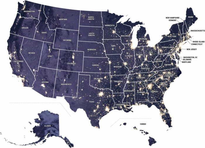
Our US light pollution map uses NASA’s Black Marble data to show where artificial light is brightest across the United States.
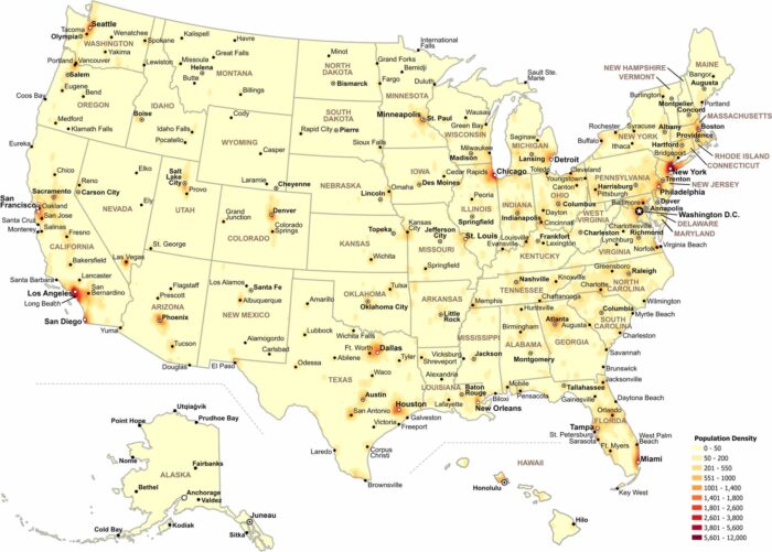
Our map shows how population density changes across the United States. Check out our map to see where people are most concentrated.