Map of State College Borough, Pennsylvania
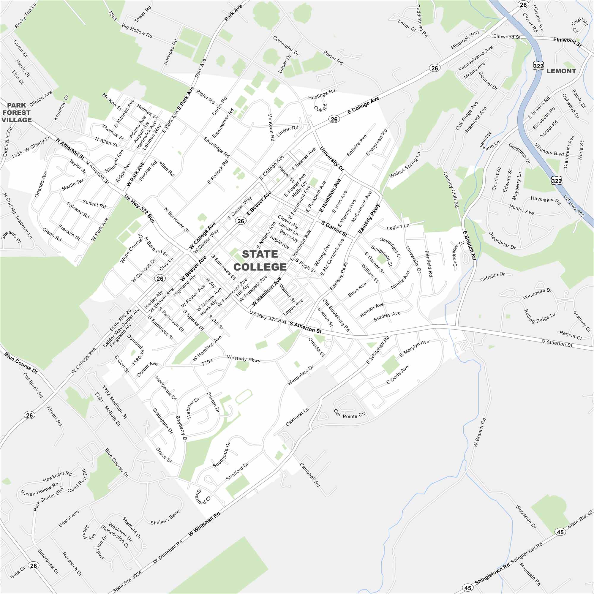
Our map of State College helps you find your way around this classic college town. Penn State’s campus sits right at the center.
Map Information
On the Map
Interstates/Highways: US Hwy 322, State Rte 26, State Rte 45 Major Roads: College Ave, Beaver Ave, Atherton St, University Dr, Park Ave, Whitehall Rd, Westerly Pkwy, Easterly Pkwy, Hamilton Ave, Waupelani Dr, Blue Course Dr, Science Park Rd, Valley Vista Dr, Clinton Ave, Northway Rd, Vairo Blvd, Clearview Ave, Puddintown Rd, Branch Rd, Shingletown Rd Nearby Communities: Lemont, Park Forest VillagePennsylvania State Maps
Browse maps throughout the Keystone State.


City Maps of Pennsylvania
Here is our city map collection for all of Pennsylvania.


