San Antonio Airport Map
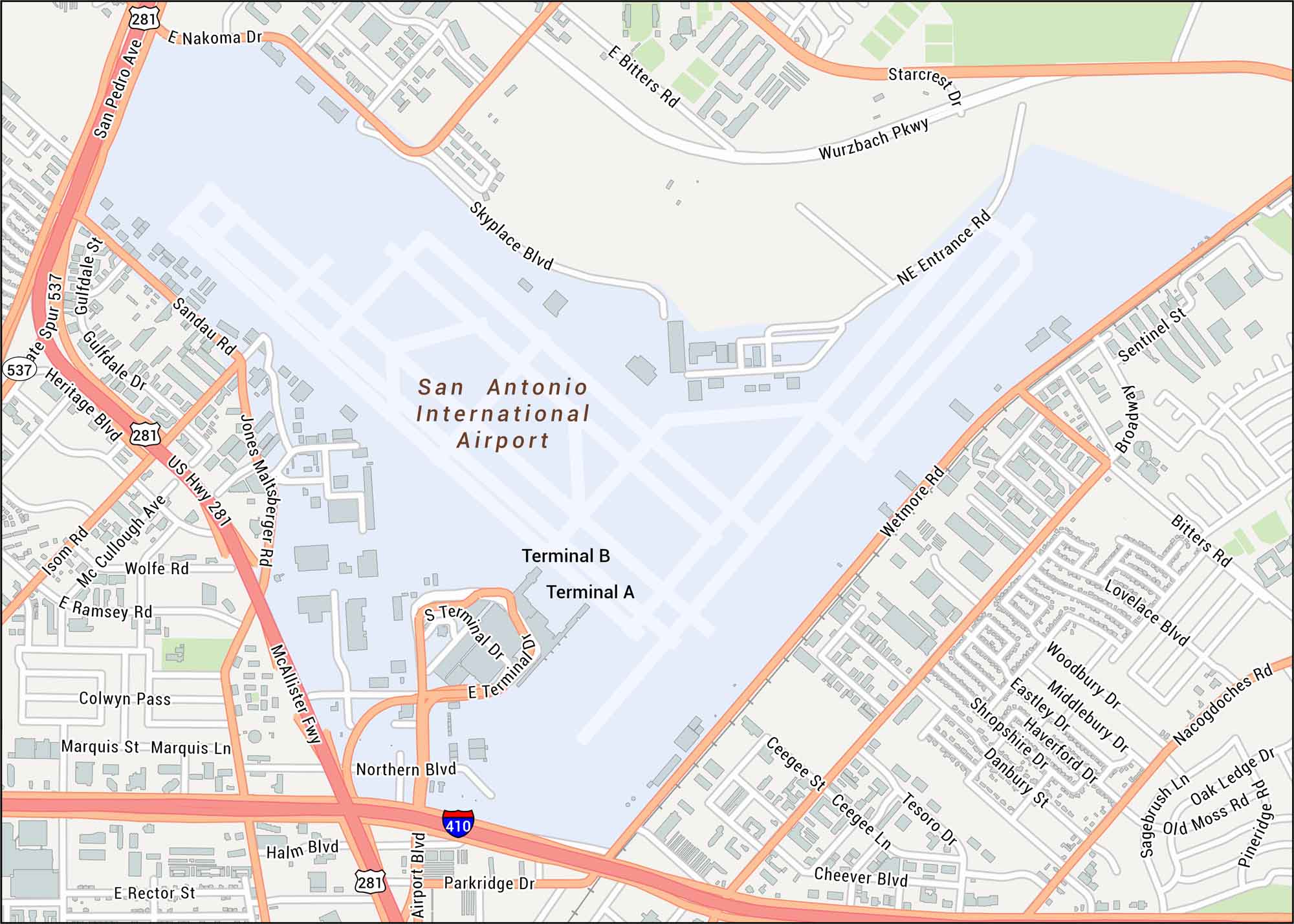
See the streets close to San Antonio Airport. Our map shows terminals, runways, and the nearby interchanges. You’ll find this airport north of downtown, in a region known for Hill Country terrain.
Map Information
See the streets close to San Antonio Airport. Our map shows terminals, runways, and the nearby interchanges. You’ll find this airport north of downtown, in a region known for Hill Country terrain.
Map Information