Salt Lake City Airport Map
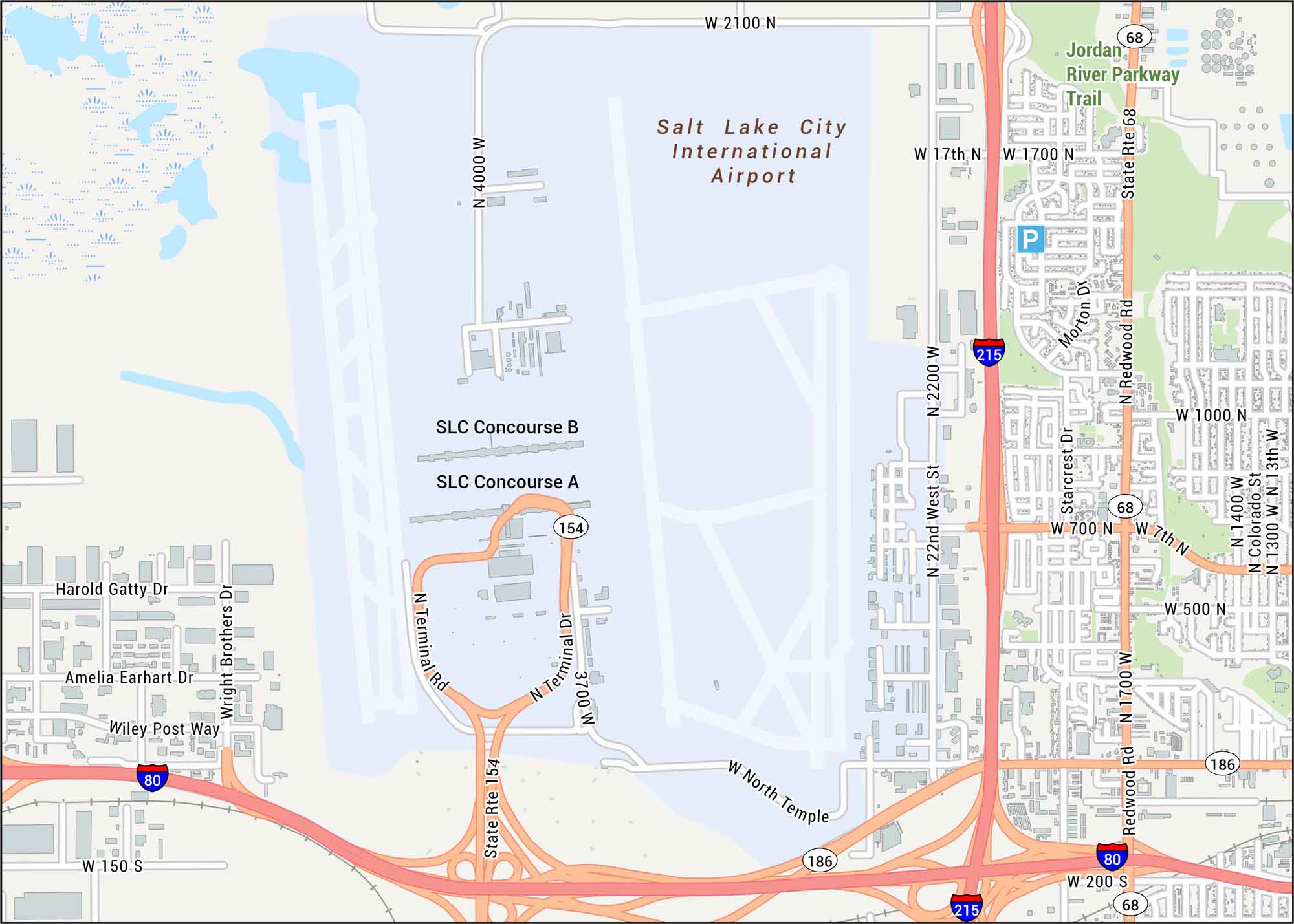
Our map of Salt Lake City Airport shows runways, terminals, and concourses. The airport sits near the Great Salt Lake, backed by the Wasatch Mountains.
Map Information
On the Map
Interstates/Highways: I-80, I-215, State Rte 154, State Rte 68, State Rte 186 Major Roads: Terminal Rd, 3700 W, North Temple, Redwood Rd, 2100 N, 4000 W, 2200 W, 17th N, 1700 N, 1000 N, 700 N, 7th N, 500 N, 200 S, 1300 W, 1400 W, Colorado St, Harold Gatty Dr, Wright Brothers Dr, Amelia Earhart Dr, Wiley Post Way, Morton Dr, Starcrest Dr Other Landmarks: Salt Lake City International Airport, SLC Concourse A, SLC Concourse B, Jordan River Parkway TrailTourist Maps in Utah
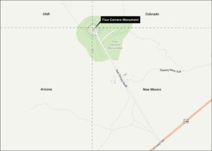
Discover all the prime locations with our tourist maps.