Map of Riverdale, Georgia
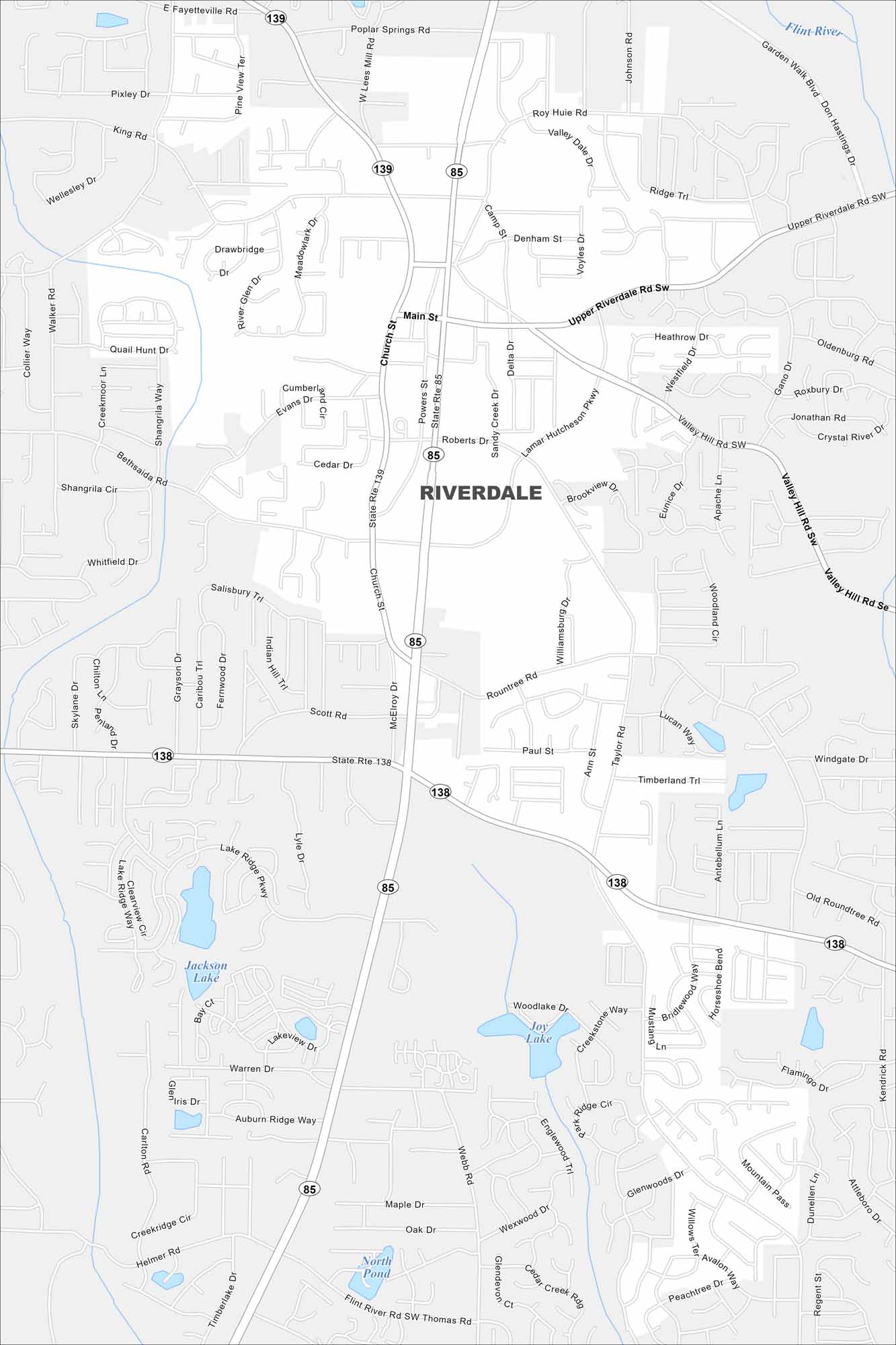
Our Riverdale map shows local streets and the city center. You can also see roads heading north toward Atlanta and surrounding neighborhoods.
Georgia State Maps
Browse through our Georgia map collection


Map Information
On the Map
Interstates/Highways: State Rte 85, State Rte 138, State Rte 139 Major Roads: Main St, Church St, Upper Riverdale Rd Sw, Valley Hill Rd Sw, Rountree Rd, Powers St, Roberts Dr, Lamar Hutcheson Pkwy, Poplar Springs Rd, Garden Walk Blvd, West Mill Rd, Highway 85, Valley Hill Rd Se, Webb Rd, Thomas Rd, Flint River Rd Sw, Helmer Rd, Bethsaida Rd, Taylor Rd, Paul St Lakes and Reservoirs: Jackson Lake, Joy Lake, Dickson Lake Major Rivers: Flint RiverGeorgia City Maps
Get to know Atlanta and Georgia’s urban areas


