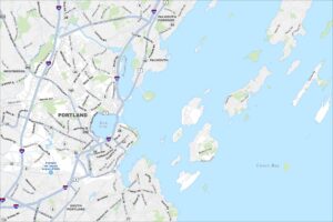
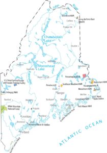
Map of Portland, Maine
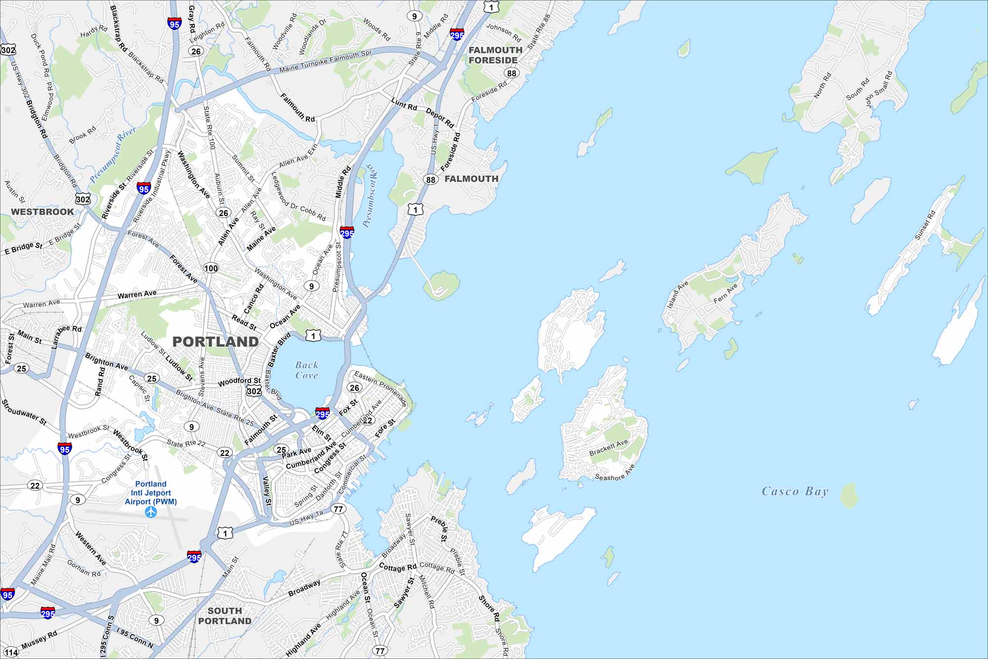
Portland hugs the coast with a busy harbor and peninsulas. Small islands lie just offshore. Use our map to see its historic Old Port district, highway and roads.


Map Information
On the Map
Interstates/Highways: I-95, I-295, US Hwy 302, US Hwy 1, US Hwy 1a, State Rte 26, State Rte 100, State Rte 25, State Rte 22, State Rte 9, State Rte 77, State Rte 88 Major Roads: Forest Ave, Congress St, Brighton Ave, Washington Ave, Riverside St, Main St, Ocean Ave, Baxter Blvd, Franklin St, Commercial St, Broadway, Veranda St, Lunt Rd, Presumpscot St, Allen Ave, Summit St, Warren Ave, Stevens Ave, Read St, Falmouth Rd Airports: Portland Intl Jetport Airport (PWM) Lakes and Reservoirs: Casco Bay, Back Cove Major Rivers: Presumpscot River Nearby Communities: South Portland, Westbrook, Falmouth, Falmouth ForesideMaine City Maps
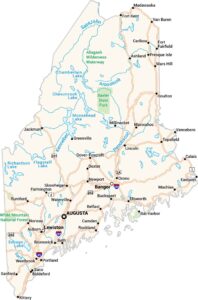
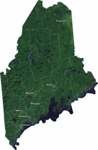
Get to know Maine with our city maps