Plum Bayou Mounds Map
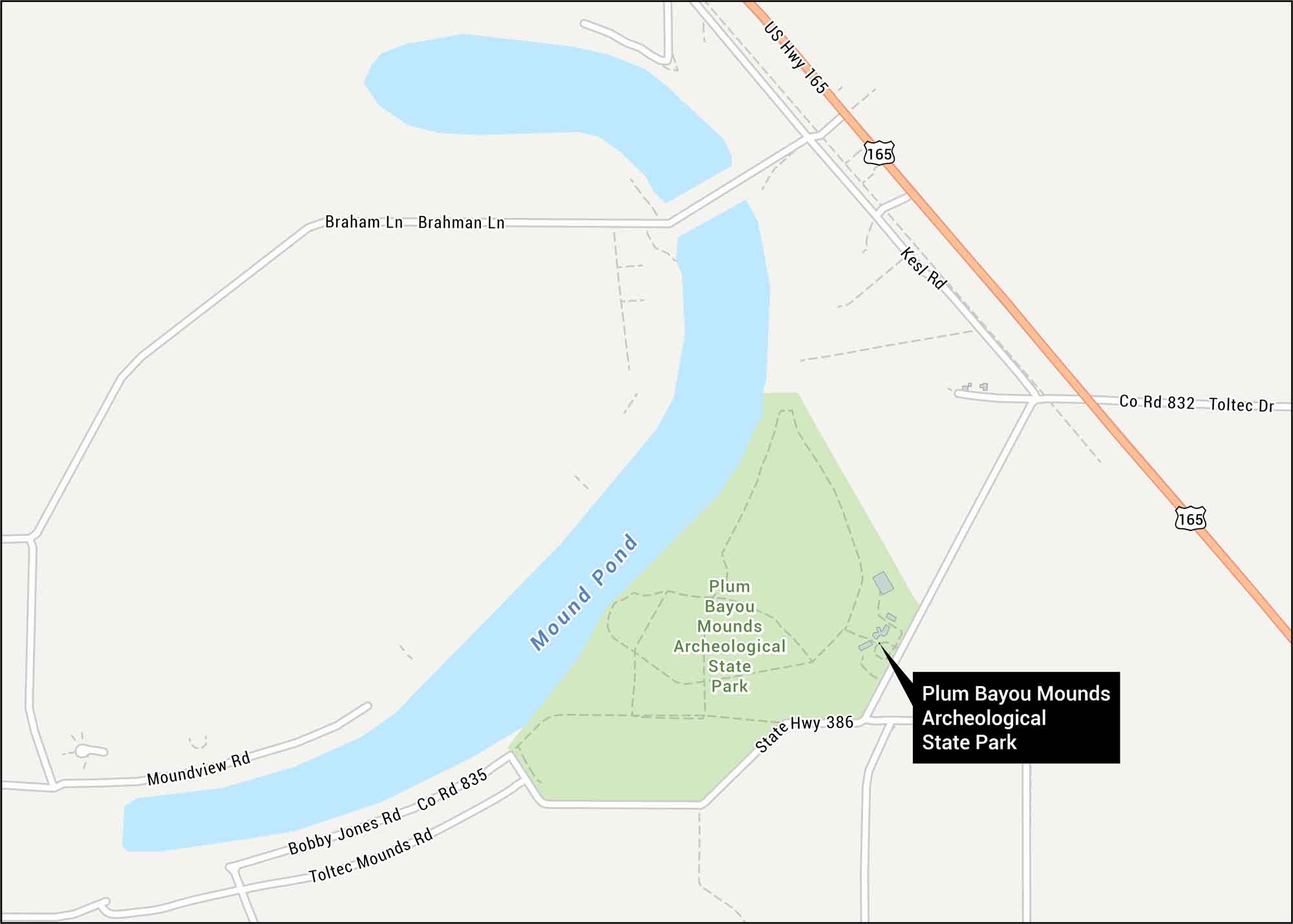
We’ve mapped out the ancient earthworks at Plum Bayou Mounds Archeological State Park. This rare Native American mound complex thrived between 650 and 1050 AD in the Arkansas River lowlands.
Map Information
We’ve mapped out the ancient earthworks at Plum Bayou Mounds Archeological State Park. This rare Native American mound complex thrived between 650 and 1050 AD in the Arkansas River lowlands.
Map Information