Map of Norristown Borough, Pennsylvania
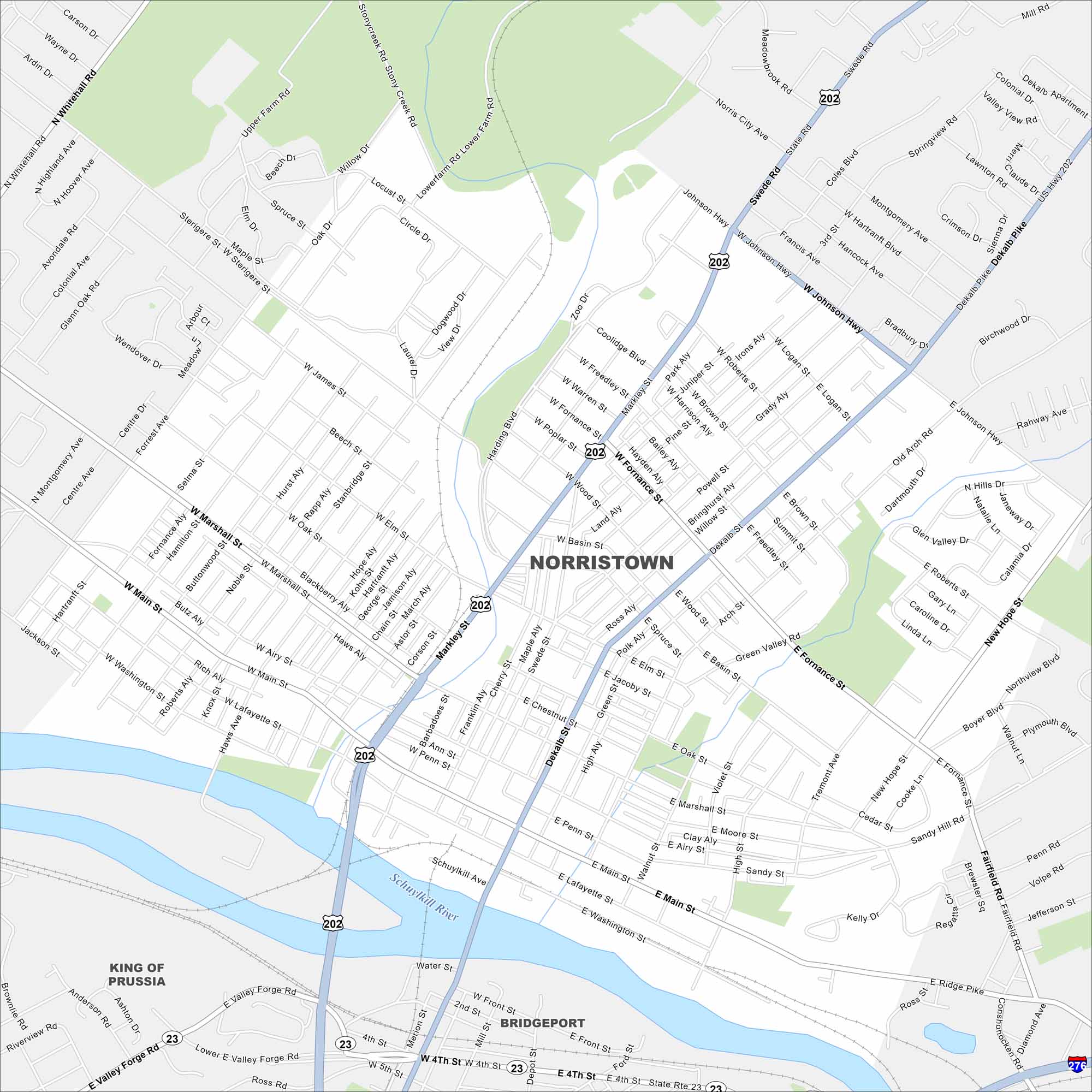
Norristown sits along the Schuylkill River northwest of Philadelphia. Take a look at this map to see its downtown streets, riverfront, and surrounding neighborhoods. The county courthouse is a central landmark.
Map Information
On the Map
Interstates/Highways: US Hwy 202, State Rte 23, I-276 Major Roads: Main St, Marshall St, Airy St, Markley St, DeKalb St, Swede Rd, Ridge Pike, Valley Forge Rd, Johnson Hwy, Fornance St, Germantown Pike, Whitehall Rd, Stanbridge St, Noble St, Powell St, Harding Blvd, Burnside Ave, Trooper Rd, Egypt Rd, Ridge St Major Rivers: Schuylkill River Nearby Communities: King of Prussia, BridgeportPennsylvania State Maps
Browse maps throughout the Keystone State.


City Maps of Pennsylvania
Here is our city map collection for all of Pennsylvania.


