Map of Lancaster, California
Lancaster spreads across the Antelope Valley. Wide desert streets cut a grid through the city. It’s located in Southern California.
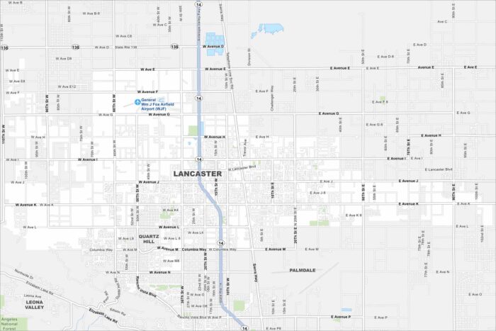
Lancaster spreads across the Antelope Valley. Wide desert streets cut a grid through the city. It’s located in Southern California.
Lancaster rests in the Hocking River Valley. This map shows hills surrounding the city on three sides. Downtown anchors the center.

Our map of Lancaster highlights the compact historic core. Amish farmlands extend out in every direction. Major highways skirt the edges.
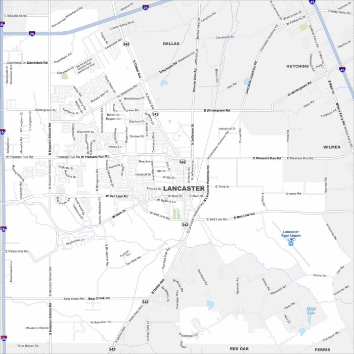
Lancaster, Texas is located south of Dallas. Our map includes highways, roads, rivers, lakes and parks. The city links directly to I-35.
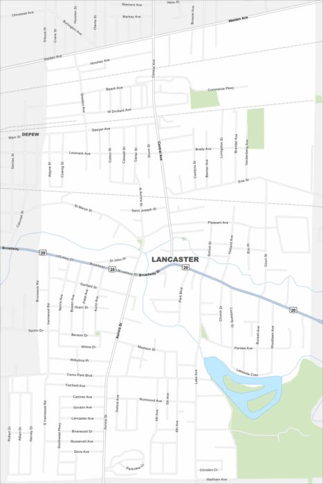
Find Lancaster just east of Buffalo, New York. This map shows Lancaster as a mix of old village streets and new subdivisions.
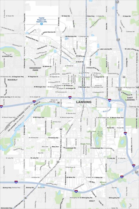
Our map of Lansing shows the Grand River winding through the central region. The State Capitol dominates downtown.
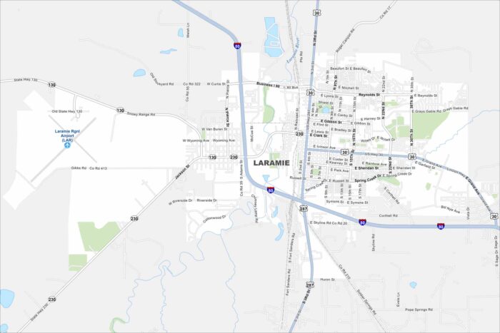
Laramie sits high in a wide mountain valley. Our map shows the railroad line running straight through town.
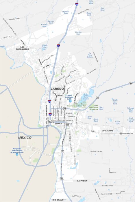
Our map shows Laredo lining up along the border, right on the Rio Grande. Interstate 35 heads north toward San Antonio.
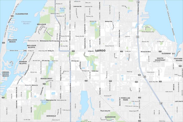
Largo appears in the heart of Pinellas County. This map shows it squeezed between Clearwater and St. Petersburg.
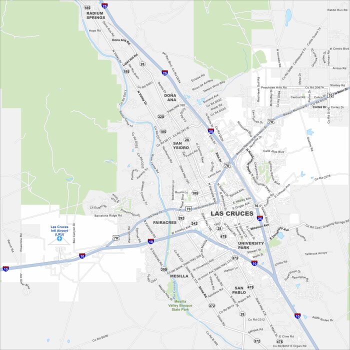
Our map of Las Cruces shows the city spread beneath the Organ Mountains. The Rio Grande winds past the west side.
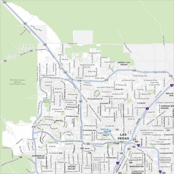
Sin City! Our map of Las Vegas shows the Strip cutting through the desert valley. Red Rock Canyon frames the city to the west.
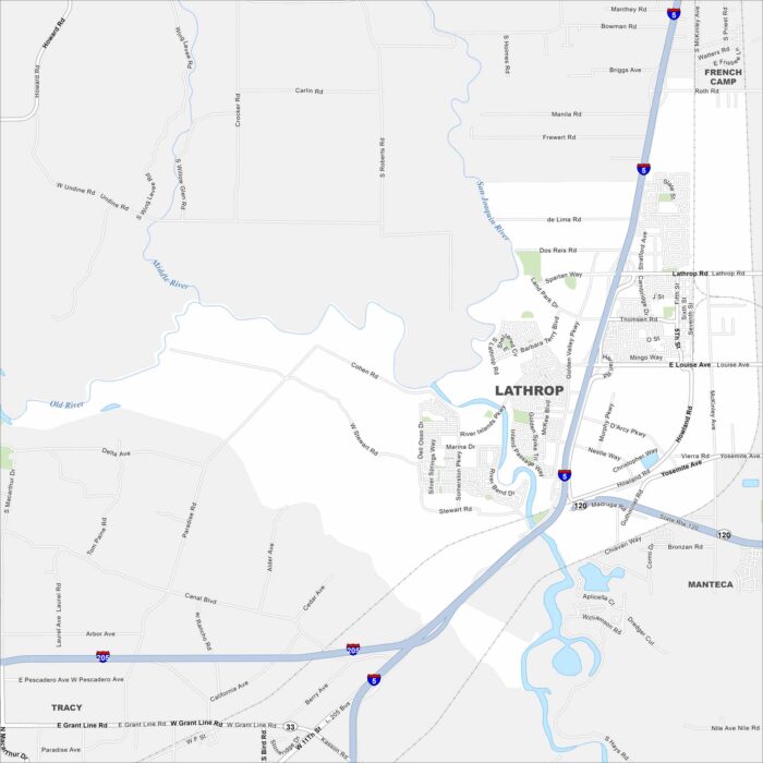
Lathrop sits at the junction of the San Joaquin River and Delta waterways. Subdivisions and warehouses dominate the map.
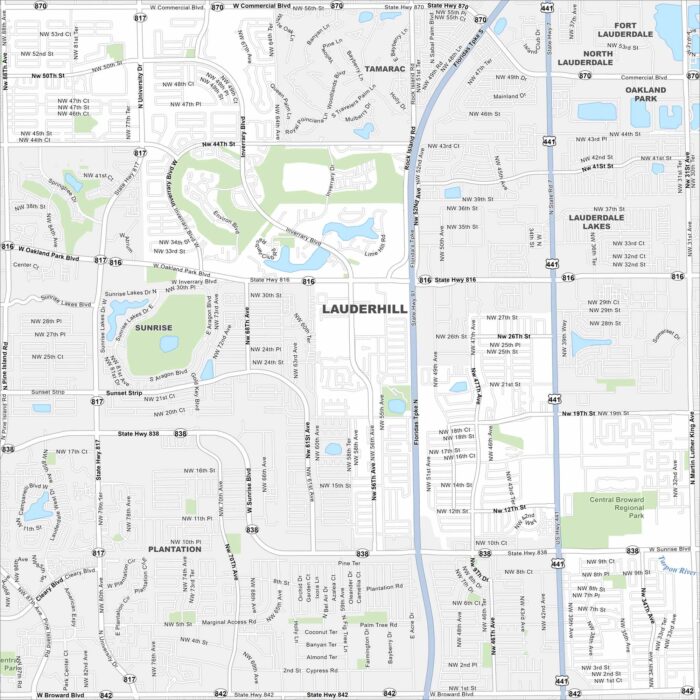
Check out Lauderhill in central Broward County. This map shows dense neighborhoods laid out in a grid. Parks and canals break up the pattern.
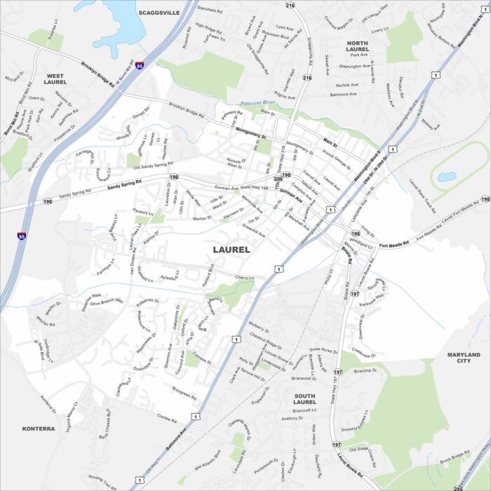
Laurel lies between Washington, D.C. and Baltimore. Our map highlights the Patuxent River running along its edge.
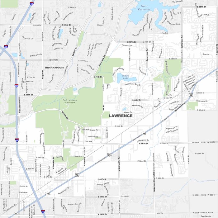
Lawrence appears on the map northeast of Indianapolis. Fort Harrison State Park takes up a large section of the city.