Logan Airport Map
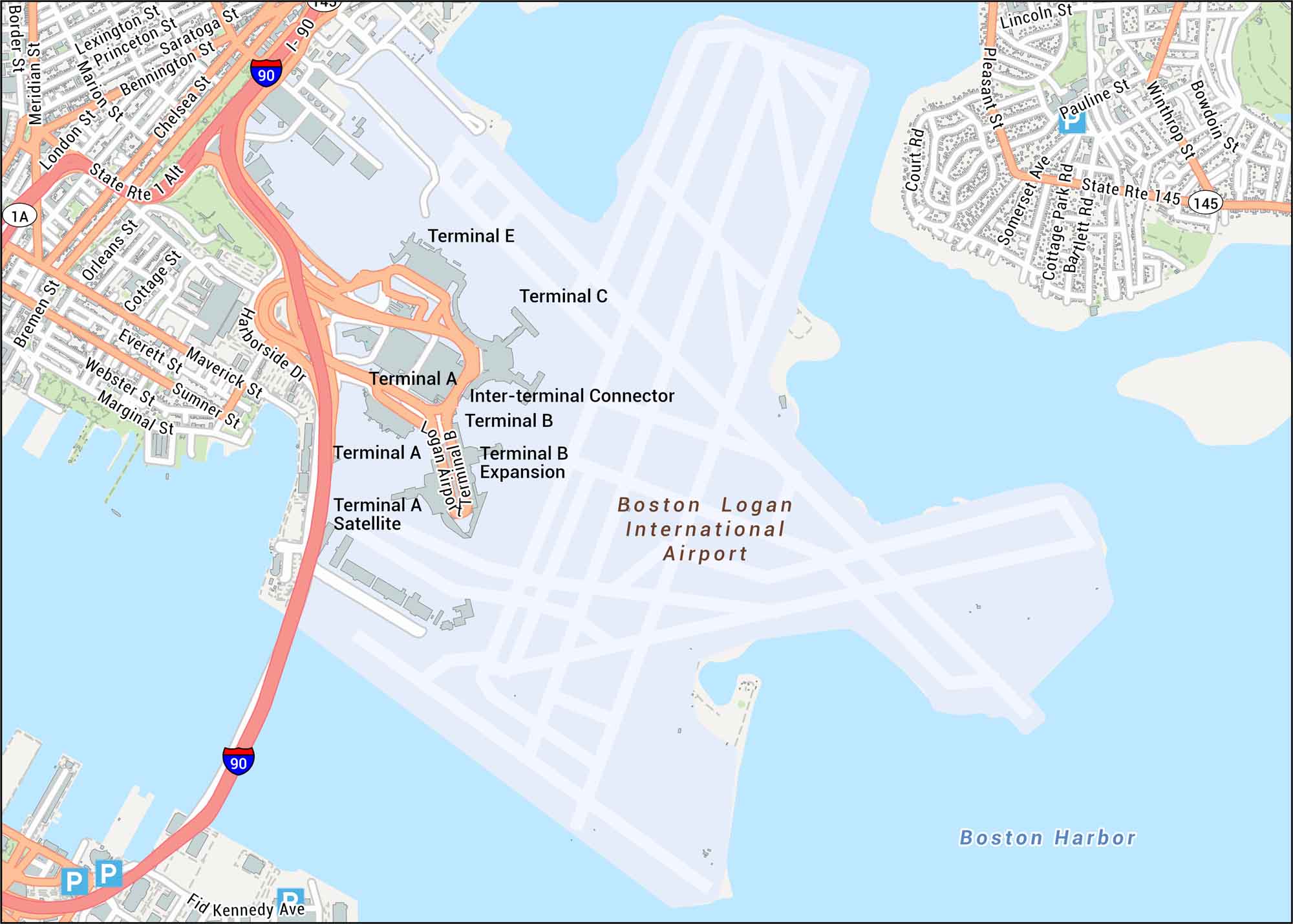
Get oriented with our Logan Airport map showing terminals, harbor edges, and road connections. This airport is tucked along Boston Harbor, giving it a coastal setting unlike most major airports.
Map Information
On the Map
Interstates/Highways: I-90 Major Roads: Harborside Dr, State Rte 1A, State Rte 1 Alt, State Rte 145, William McClellan Hwy, Chelsea St, Bennington St, Saratoga St, Meridian St, Bremen St, Orleans St, Everett St, Maverick St, Sumner St, Webster St, Marginal St, Cottage St, Pleasant St, Winthrop St, Bowdoin St Rivers/Lakes: Boston Harbor Other Landmarks: Terminal A, Terminal B, Terminal C, Terminal E, Terminal A Satellite, Terminal B Expansion, Inter-terminal ConnectorTourist Maps in Massachusetts
Discover all the prime locations with our tourist maps.
No posts