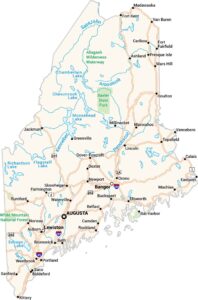
Map of Lewiston, Maine
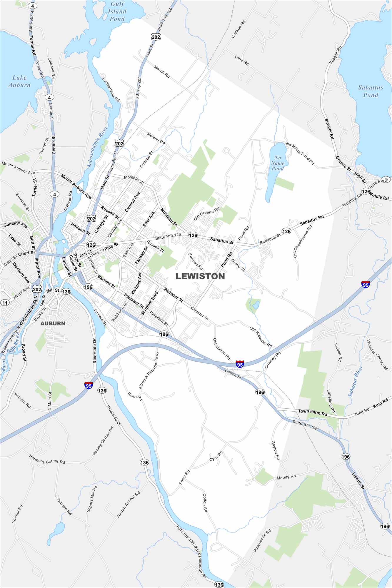
Check out Lewiston alongside the Androscoggin River. Bridges connect its downtown with Auburn just across the water. Mill buildings and a busy core stand out clearly.


Map Information
On the Map
Interstates/Highways: I-95, US Hwy 202, State Rte 4, State Rte 11, State Rte 100, State Rte 126, State Rte 136, State Rte 196 Major Roads: Main St, Sabattus Rd, Lisbon St, Webster St, College St, Russell St, East Ave, Montello St, Canal St, Center St, Mount Auburn Ave, Turner Rd, Minot Ave, Washington St, Broad St, Pleasant St, Scribner Blvd, Old Webster Rd, Ferry Rd, Pinewoods Rd Lakes and Reservoirs: Lake Auburn, Gulf Island Pond, Sabattus Pond Major Rivers: Androscoggin River, Sabattus River, Littlefield River Nearby Communities: AuburnMaine City Maps
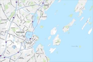
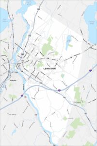
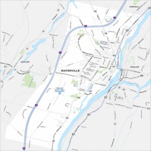
Get to know Maine with our city maps