Map of Lancaster, Pennsylvania
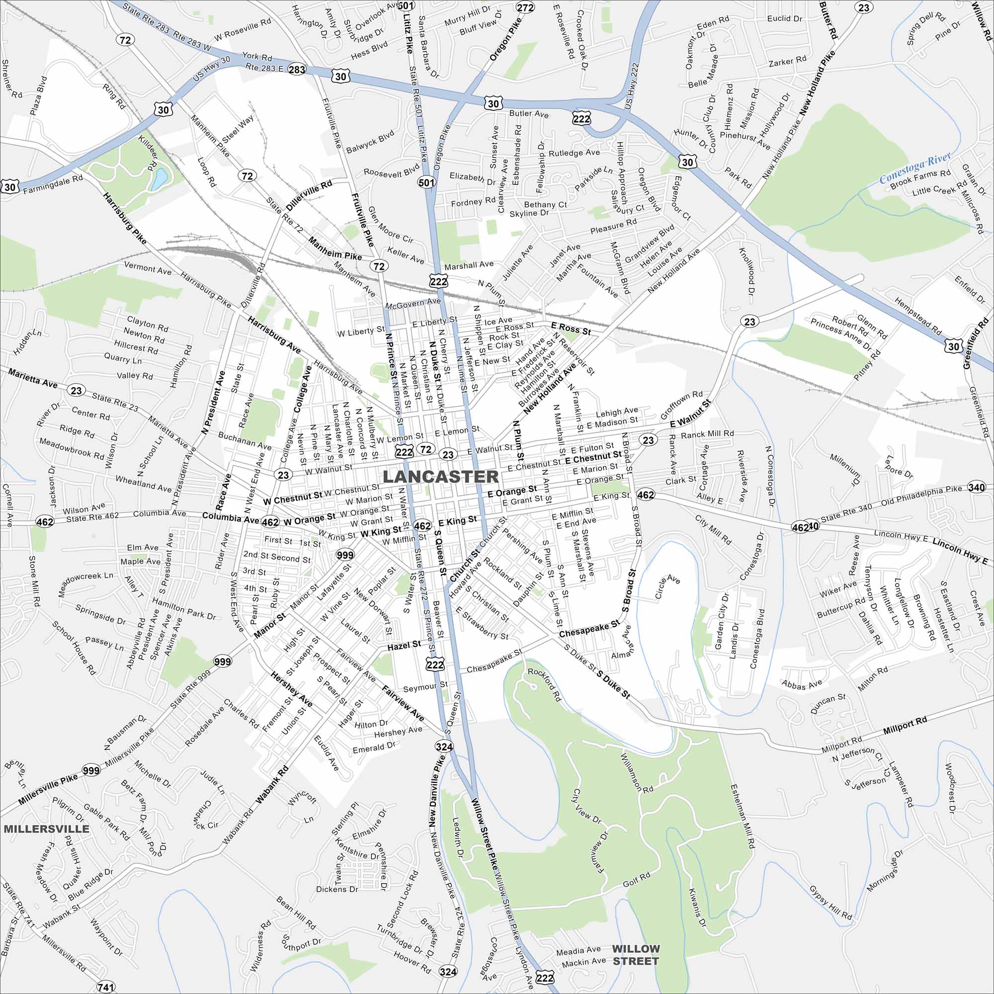
Our map of Lancaster highlights the compact historic core. Amish farmlands extend out in every direction. Major highways skirt the edges.
Map Information
On the Map
Interstates/Highways: US Hwy 30, US Hwy 222, State Rte 283, State Rte 72, State Rte 501, State Rte 272, State Rte 462, State Rte 999, State Rte 324, State Rte 741 Major Roads: Prince St, Duke St, Queen St, Lime St, King St, Orange St, Walnut St, Chestnut St, Harrisburg Ave, Manheim Pike, Lititz Pike, Oregon Pike, New Holland Ave, Liberty St, Ross St, Plum St, Broad St, Manor St, Rohrerstown Rd, Millersville Rd Major Rivers: Conestoga River Nearby Communities: MillersvillePennsylvania State Maps
Browse maps throughout the Keystone State.


City Maps of Pennsylvania
Here is our city map collection for all of Pennsylvania.


