Map of LaGrange, Georgia
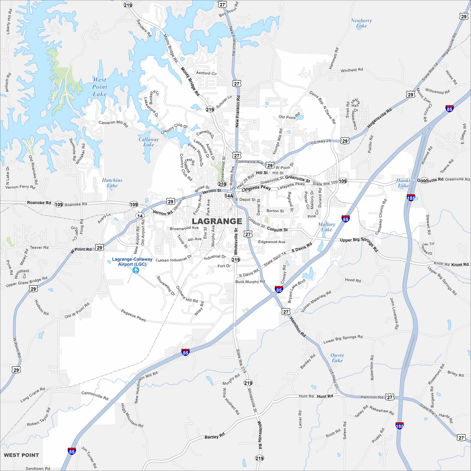
LaGrange is west of Atlanta, Georgia. West Point Lake spreads along the city’s western edge. The downtown square stands out at the center.
Georgia State Maps
Browse through our Georgia map collection


Map Information
On the Map
Interstates/Highways: I-185, I-85, US Hwy 29, US Hwy 27, State Rte 219, State Rte 109, State Rte 14 Major Roads: Lafayette Pkwy, Vernon St, Commerce Ave, Greenville St, New Franklin Rd, Whitesville Rd, Morgan St, Ridley Ave, Davis Rd, Mooty Bridge Rd, Roanoke Rd, West Point Rd, Hamilton Rd, Upper Big Springs Rd, Lower Big Springs Rd, Whitesville St, Hogansville Rd, Broad St, Park Ave, Elm St Lakes and Reservoirs: West Point Lake, Callaway Lake, Hutchins Lake, Mallory Lake, Upper Big Springs Rd, Ouvre Lake, Newberry Lake, Hanks Lake Nearby Communities: West PointGeorgia City Maps
Get to know Atlanta and Georgia’s urban areas


