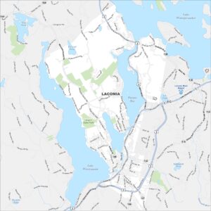
Map of Laconia, New Hampshire
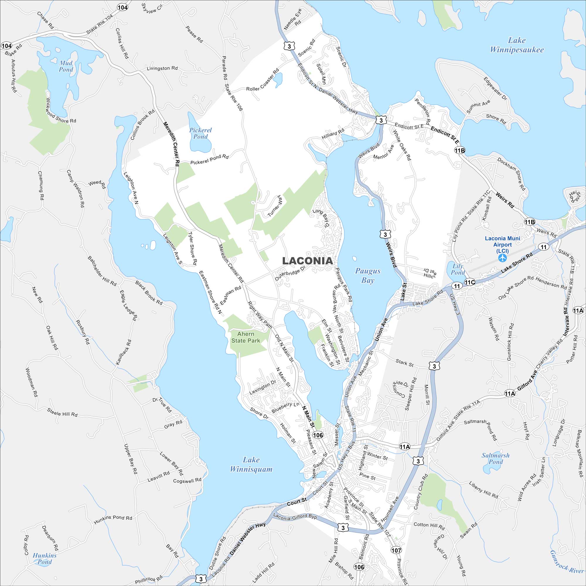
Laconia is located between Lake Winnipesaukee and Lake Winnisquam. Downtown streets cluster near the water. Highways stretch out to surrounding towns.
Map Information
On the Map
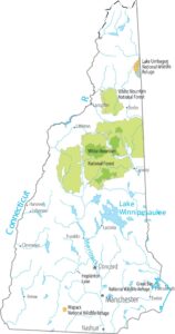
Interstates/Highways: US Hwy 3, State Rte 11, State Rte 11A, State Rte 11B, State Rte 11C, State Rte 106, State Rte 107, State Rte 104 Major Roads: Union Ave, Main St, Weirs Blvd, Court St, Laconia-Gilford Byp, Meredith Center Rd, Shore Dr, Parade Rd, Gilford Ave, Roller Coaster Rd, Scenic Rd, Endicott St, Messer St, Pleasant St, Beacon St, Province St, Belmont Rd, Hilliard Rd, White Oaks Rd, Lake Shore Rd Airports: Laconia Muni Airport (LCI) Lakes and Reservoirs: Lake Winnipesaukee, Paugus Bay, Lake Winnisquam, Opechee Bay, Lily Pond, Saltmarsh Pond, Pickerel Pond, Hunkins Pond, Mud Pond Major Rivers: Gunstock River Parks and Preserves: Ahern State ParkNew Hampshire State Maps
Select one of our maps of the Granite State.
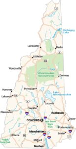


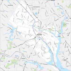
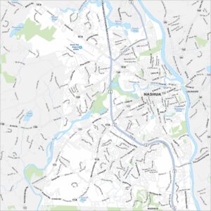
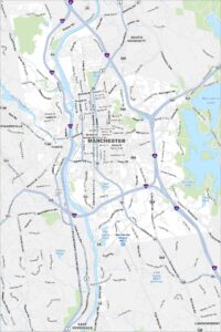
City Maps of New Hampshire
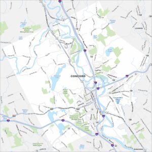
Explore Concord and New Hampshire urban areas