Indianapolis International Airport Map
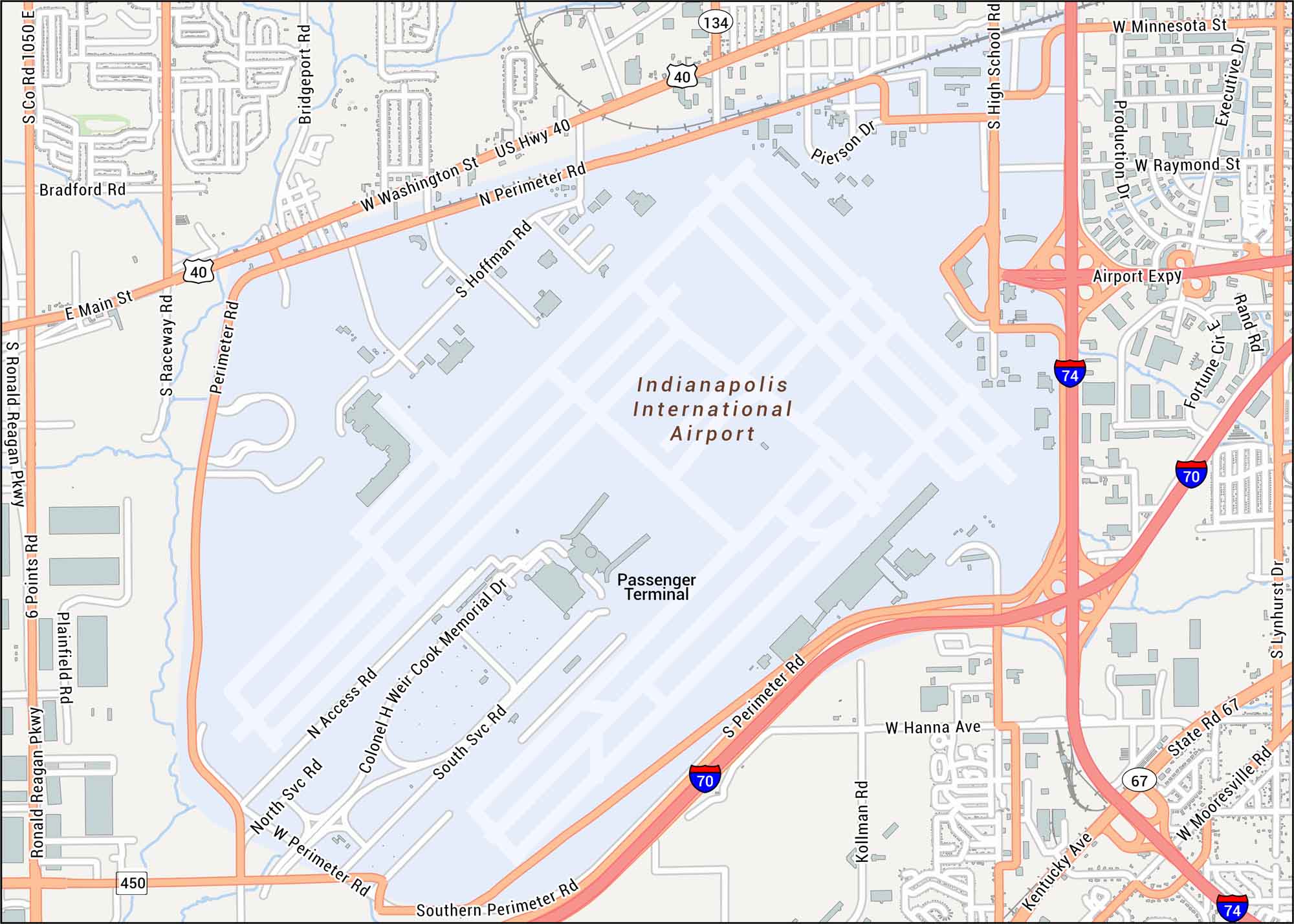
Touch down in Indianapolis today. Just west of downtown, the airport connects travelers across the country. Our map shows terminals, runways and highways.
Map Information
On the Map
Interstates/Highways: I-70, I-74, US Hwy 40, State Rd 67, Airport Expy, Ronald Reagan Pkwy Major Roads: W Washington St, W Mooresville Rd, Kentucky Ave, W Raymond St, W Minnesota St, S Lynhurst Dr, S High School Rd, Perimeter Rd, Colonel H Weir Cook Memorial Dr, S Hoffman Rd, Bradford Rd, E Main St, S Raceway Rd, 6 Points Rd, Plainfield Rd, Bridgeport Rd, Pierson Dr, W Hanna Ave Other Landmarks: Indianapolis International Airport, Passenger TerminalTourist Maps in Indiana
Discover all the prime locations with our tourist maps.
No posts