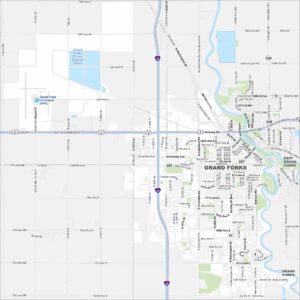
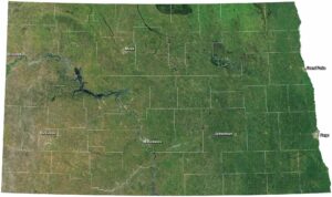
Map of Grand Forks, North Dakota
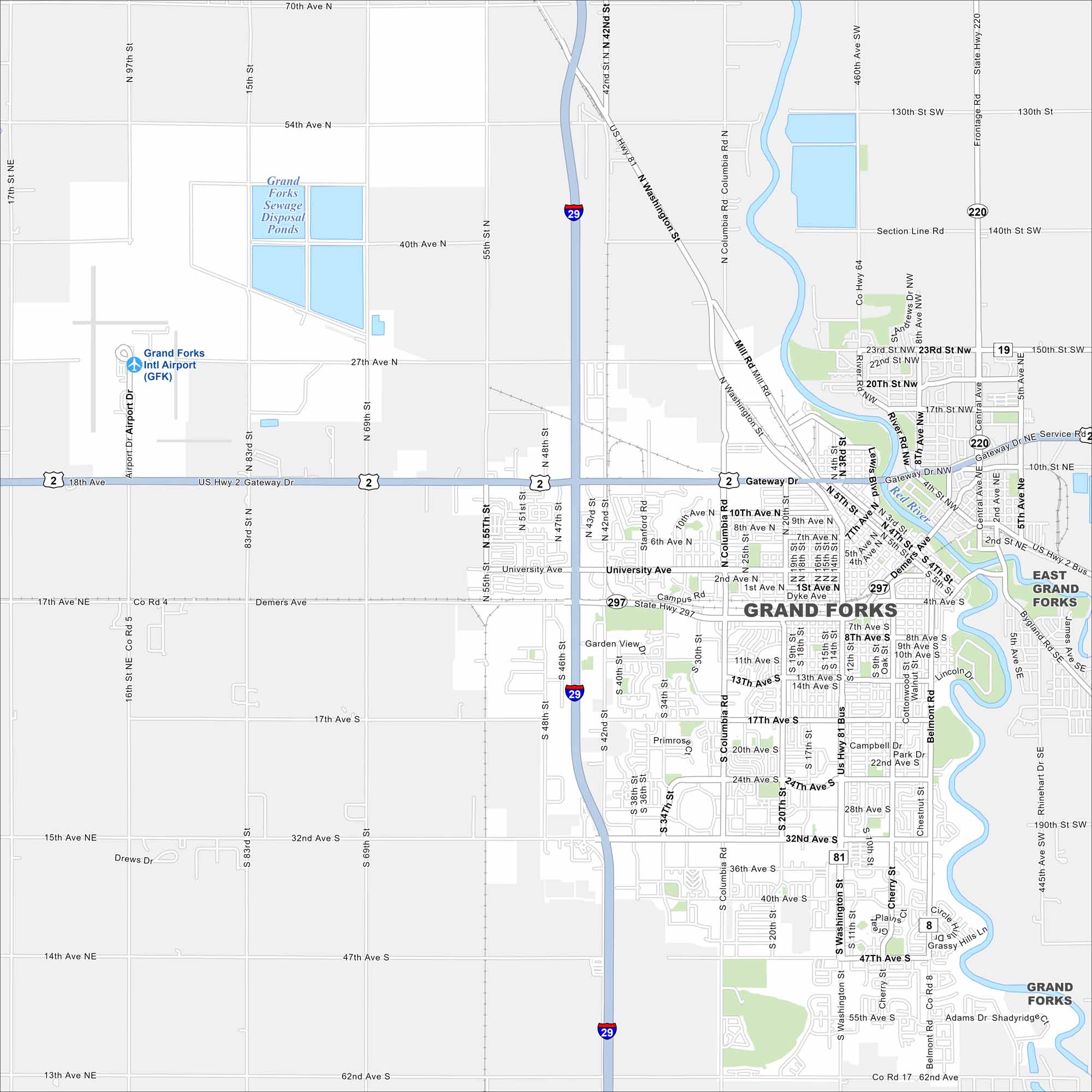
Our map of Grand Forks shows the Red River running along the border with Minnesota. Streets and neighborhoods spread out from the downtown core. The city is recognized as a regional hub of the Red River Valley.
Map Information
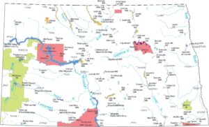
On the Map
Interstates/Highways: I-29, US Hwy 2, US Hwy 81, US Hwy 81 Bus, State Rte 297, State Rte 220 Major Roads: Gateway Dr, Demers Ave, Washington St, Columbia Rd, 32nd Ave, University Ave, 42nd St, 47th Ave, 17th Ave, 62nd Ave, Garden View Dr, Cherry St, Belmont Rd, 20th St, 55th St, 69th St, 83rd St, 13th St, Central Ave, Rhinehart Dr Airports: Grand Forks Intl Airport (GFK) Lakes and Reservoirs: Grand Forks Sewage Disposal Ponds Major Rivers: Red River Nearby Communities: East Grand ForksNorth Dakota State Maps
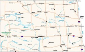
Find the map you need of the Peace Garden State.


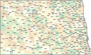
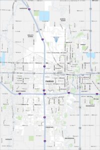
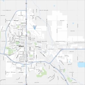
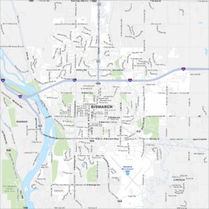
City Maps of North Dakota
North Dakota city maps made simple