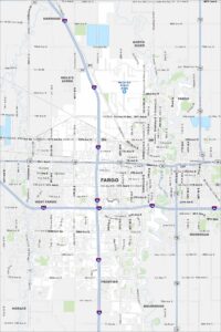
Map of Fargo, North Dakota
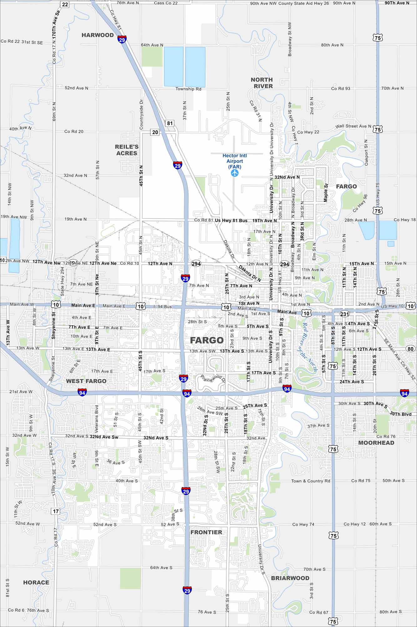
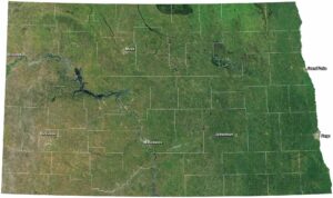
Fargo is on the Red River of the North, right on the Minnesota border. The map shows a flat, open landscape. Its position on the river is key part of its history.
Map Information
On the Map
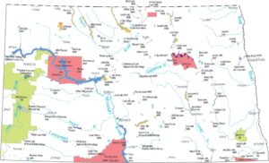
Interstates/Highways: I-29, I-94, US Hwy 81, US Hwy 10, US Hwy 52, US Hwy 75, State Rte 294, State Rte 17 Major Roads: Main Ave, 12th Ave, 13th Ave, 19th Ave, 32nd Ave, 40th Ave, 45th St, 52nd Ave, Broadway, University Dr, 10th St, 25th St, Sheyenne St, Veterans Blvd, 18th St, 42nd St, 76th Ave, 90th Ave, 64th Ave, Country Club Rd Airports: Hector Intl Airport (FAR) Major Rivers: Red River of the North Nearby Communities: West Fargo, Moorhead, Reile’s Acres, Harwood, Frontier, Briarwood, HoraceNorth Dakota State Maps
Find the map you need of the Peace Garden State.


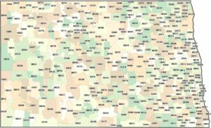
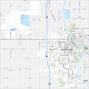
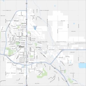
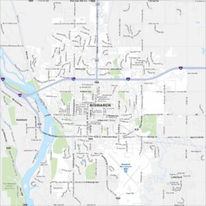
City Maps of North Dakota
North Dakota city maps made simple