Map of Easton, Pennsylvania
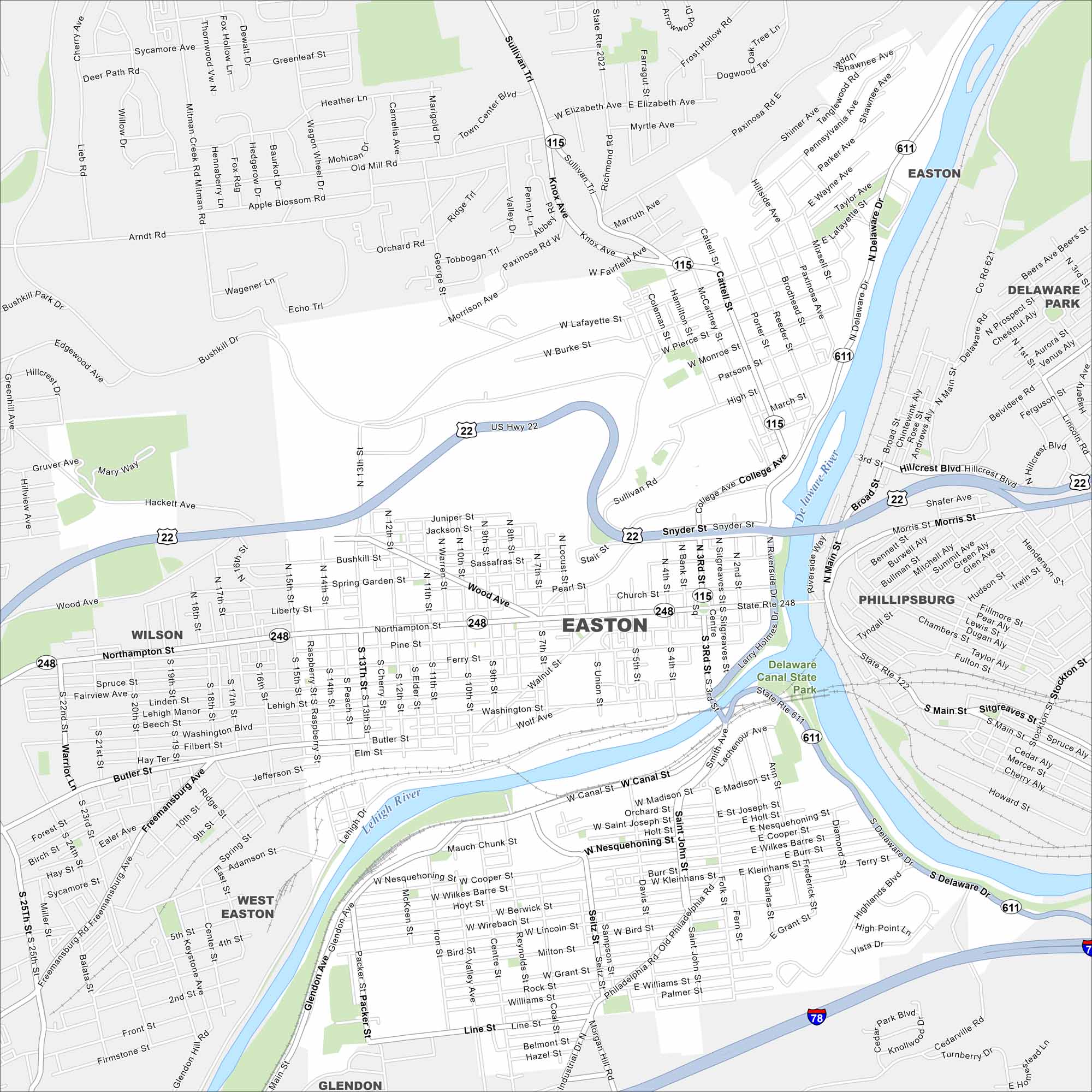
Easton is where the Delaware and Lehigh Rivers meet. On the map, you’ll notice the rivers shaping the city’s borders. It’s one of the oldest towns in Pennsylvania, founded in the 1700s.
Map Information
On the Map
Interstates/Highways: I-78, US Hwy 22, State Rte 248, State Rte 611, State Rte 115, State Rte 122 Major Roads: Northampton St, Butler St, Freemansburg Ave, Sullivan Trl, 13th St, 25th St, Bushkill Dr, College Ave, Smith Ave, Philadelphia Rd, Delaware Dr, Main St, Third St, Fourth St, Wood Ave, Cattell St, Knox Ave, Paxinosa Rd, Morgan Hill Rd, Cedarville Rd Major Rivers: Delaware River, Lehigh River Parks and Preserves: Delaware Canal State Park Nearby Communities: Phillipsburg, West Easton, Wilson, GlendonPennsylvania State Maps
Browse maps throughout the Keystone State.


City Maps of Pennsylvania
Here is our city map collection for all of Pennsylvania.


