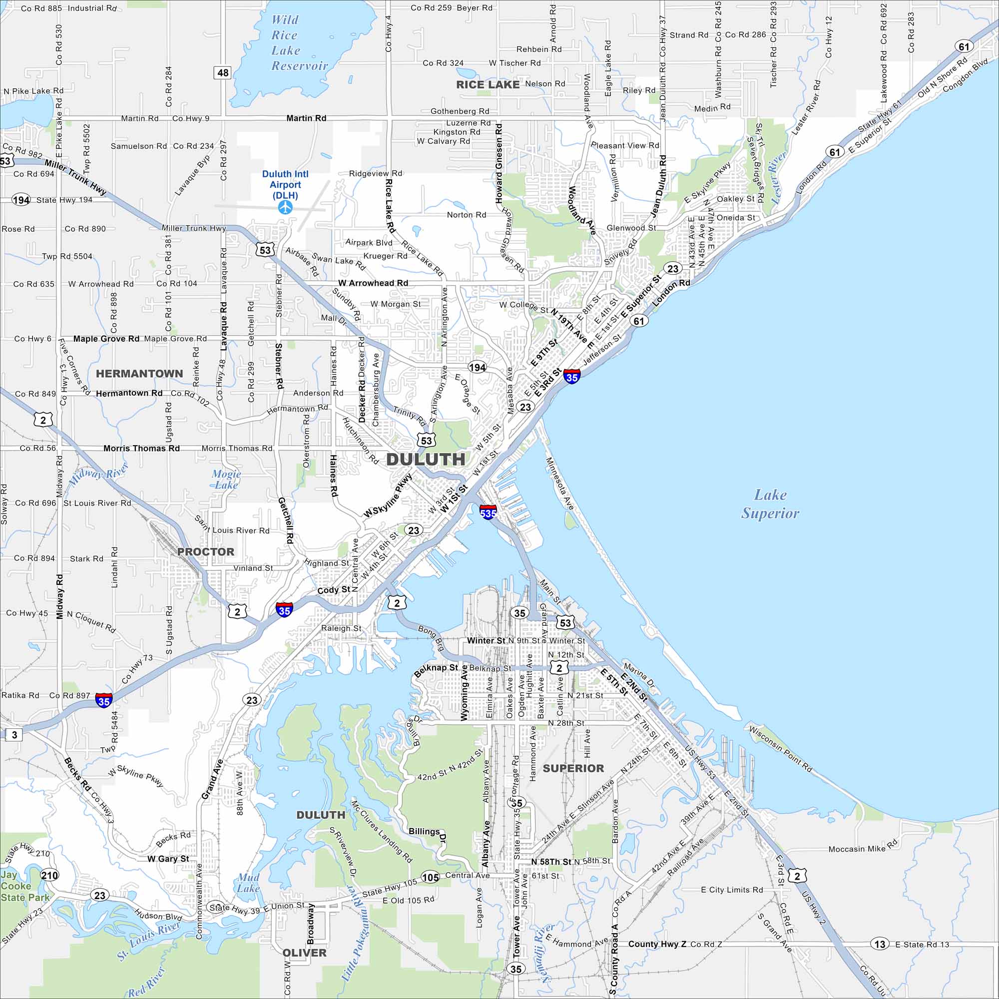
Map of Duluth, Minnesota

Duluth sits on the western tip of Lake Superior. Our map of the city shows the harbor, lift bridge, and hillside streets. It’s often called the “Zenith City” because of its perch above the great lake.
Map Information

Duluth sits on the western tip of Lake Superior. Our map of the city shows the harbor, lift bridge, and hillside streets. It’s often called the “Zenith City” because of its perch above the great lake.
Map Information