Map of Duluth, Georgia
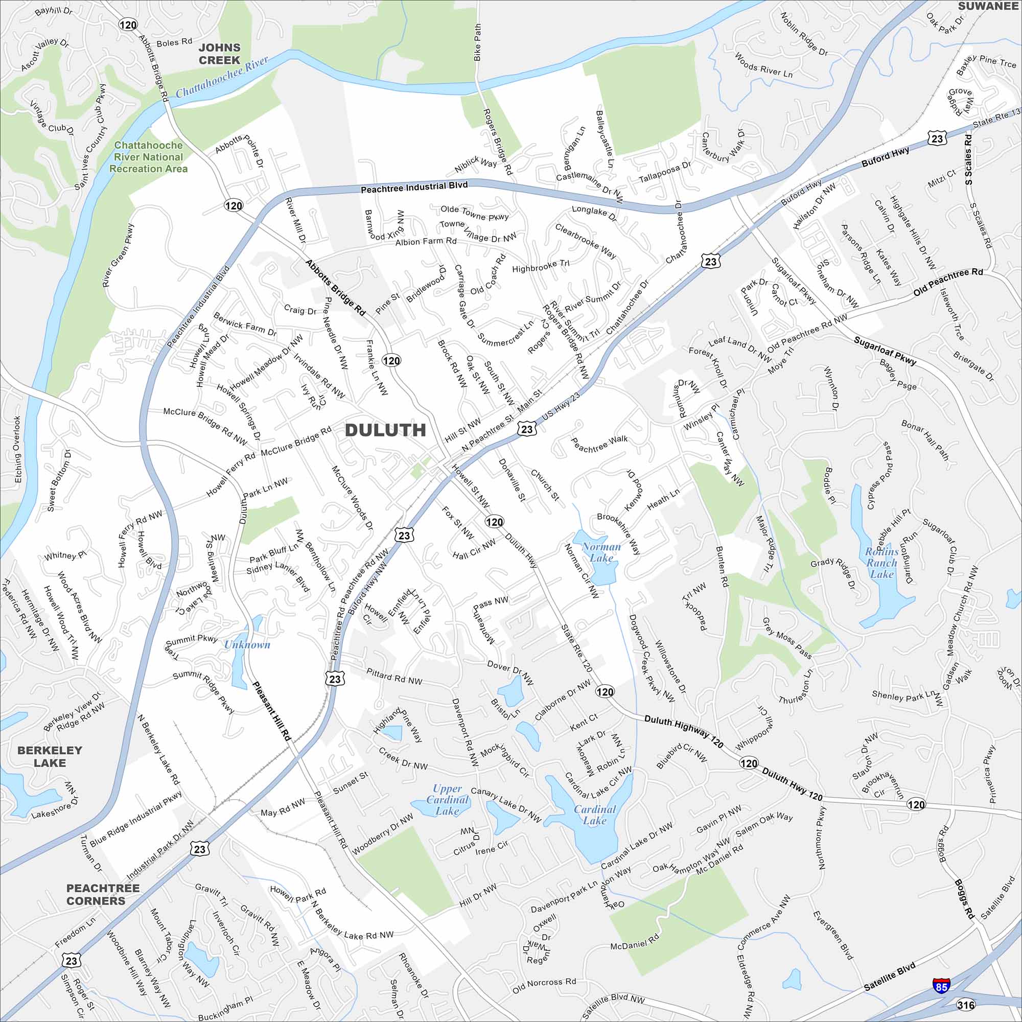
Duluth is in Gwinnett County, northeast of Atlanta. Our map shows neighborhoods, parks, and key roadways tying it to the metro area. The Chattahoochee River forms its border on the west side.
Georgia State Maps
Browse through our Georgia map collection


Map Information
On the Map
Interstates/Highways: I-85, US Hwy 23, State Rte 120, State Rte 316, Buford Hwy, Duluth Hwy Major Roads: Peachtree Industrial Blvd, Abbotts Bridge Rd, Pleasant Hill Rd, Sugarloaf Pkwy, Peachtree Pkwy, Satellite Blvd, Old Peachtree Rd, Howell Ferry Rd, Berkeley Lake Rd, Rogers Bridge Rd, Bunten Rd, Davenport Rd, Brock Rd, Hill St, Main St, McClure Bridge Rd, Albion Farm Rd, Commerce Ave Lakes and Reservoirs: Norman Lake, Rollins Ranch Lake, Upper Cardinal Lake, Cardinal Lake, Canary Lake Major Rivers: Chattahoochee River Parks and Preserves: Chattahoochee River National Recreation Area Nearby Communities: Johns Creek, Berkeley Lake, Peachtree Corners, SuwaneeGeorgia City Maps
Get to know Atlanta and Georgia’s urban areas


