Map of Dalton, Georgia
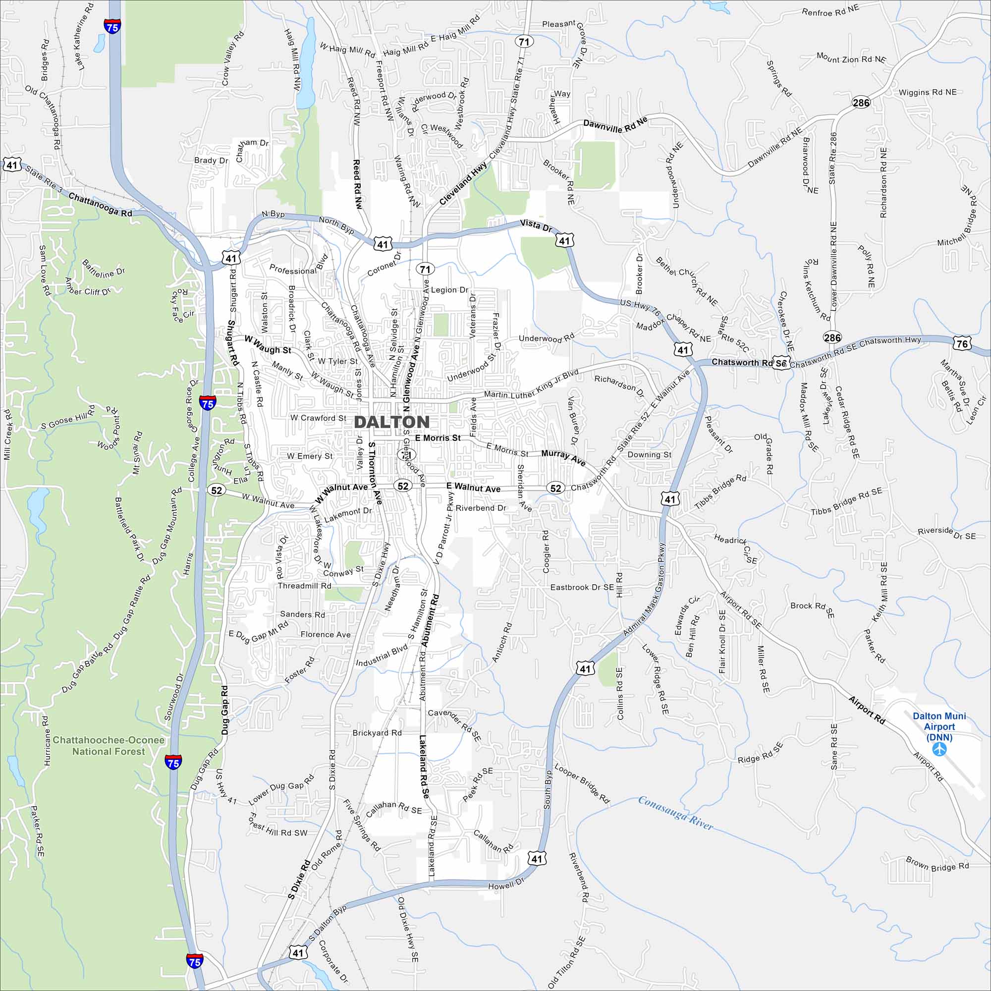
Nestled in the foothills of the Appalachians, Dalton sits next to the Chattahoochee-Oconee National Forest. It’s often called the “Carpet Capital of the World”.
Georgia State Maps
Browse through our Georgia map collection


Map Information
On the Map
Interstates/Highways: I-75, US Hwy 41, US Hwy 76, State Rte 52, State Rte 71, State Rte 2, State Rte 3, State Rte 286 Major Roads: Walnut Ave, Glenwood Ave, Thornton Ave, Morris St, Waugh St, Crawford St, Chattanooga Rd, Cleveland Hwy, Airport Rd, Abutment Rd, Shugart Rd, Tibbs Rd, Dug Gap Rd, Old Dixie Hwy, Reed Rd, Waring Rd, Pleasant Grove Dr, Dawnville Rd, Tony Ingle Pkwy, Riverbend Rd Airports: Dalton Muni Airport (DNN) Major Rivers: Conasauga River Parks and Preserves: Chattahoochee-Oconee National Forest Nearby Communities: DawnvilleGeorgia City Maps
Get to know Atlanta and Georgia’s urban areas


