Map of Columbus, Georgia
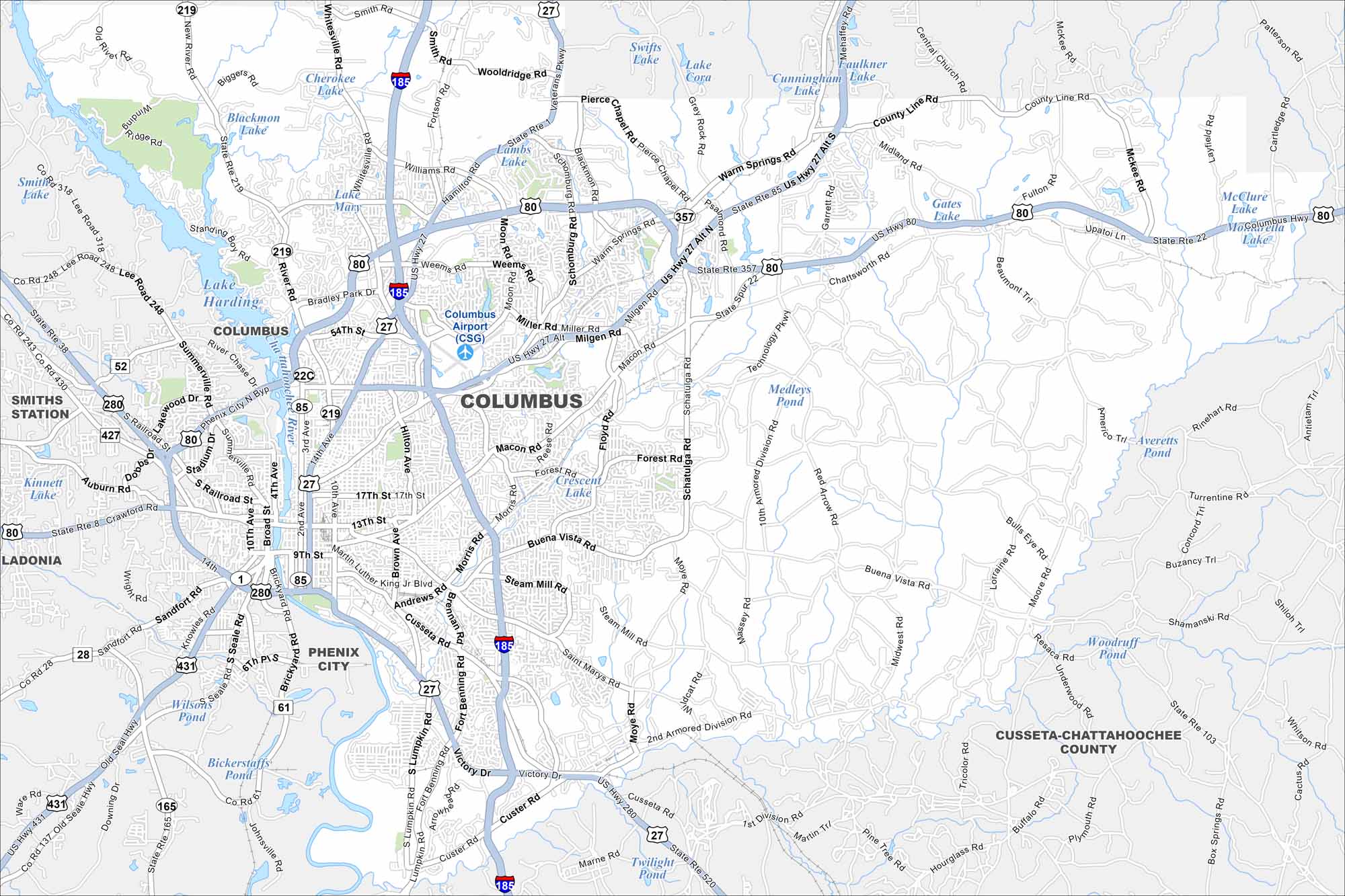
Columbus is on the Chattahoochee River, bordering Alabama. Our map of Columbus highlights the city’s streets, highways and riverfront. The RiverWalk trail follows the water through downtown.
Georgia State Maps
Browse through our Georgia map collection


Map Information
On the Map
Interstates/Highways: I-185, US Hwy 80, US Hwy 27, US Hwy 280, US Hwy 431, State Rte 22, State Rte 85, State Rte 318, State Rte 219, State Rte 1, State Rte 41, Manchester Expy Major Roads: Victory Dr, Macon Rd, J.R. Allen Pkwy, Buena Vista Rd, St. Marys Rd, Cusseta Rd, Steam Mill Rd, Moon Rd, Miller Rd, Milgen Rd, Warm Springs Rd, Whittlesey Rd, Bradley Park Dr, River Rd, Veterans Pkwy, Hamilton Rd, Forrest Rd, Schatulga Rd, S Lumpkin Rd Airports: Columbus Airport (CSG) Lakes and Reservoirs: Lake Harding, Lake Mary, Blackmon Lake, Cherokee Lake, Lambs Lake, Swifts Lake, Lake Cora, Cunningham Lake, Faulkner Lake, Gates Lake, McClure Lake, Averetts Pond, Woodruff Pond, Twilight Pond, Wilson’s Pond, Kinnett Lake Major Rivers: Chattahoochee River Nearby Communities: Phenix City, Ladonia, Smiths Station, PutneyGeorgia City Maps
Get to know Atlanta and Georgia’s urban areas


