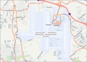
Cleveland Airport Map
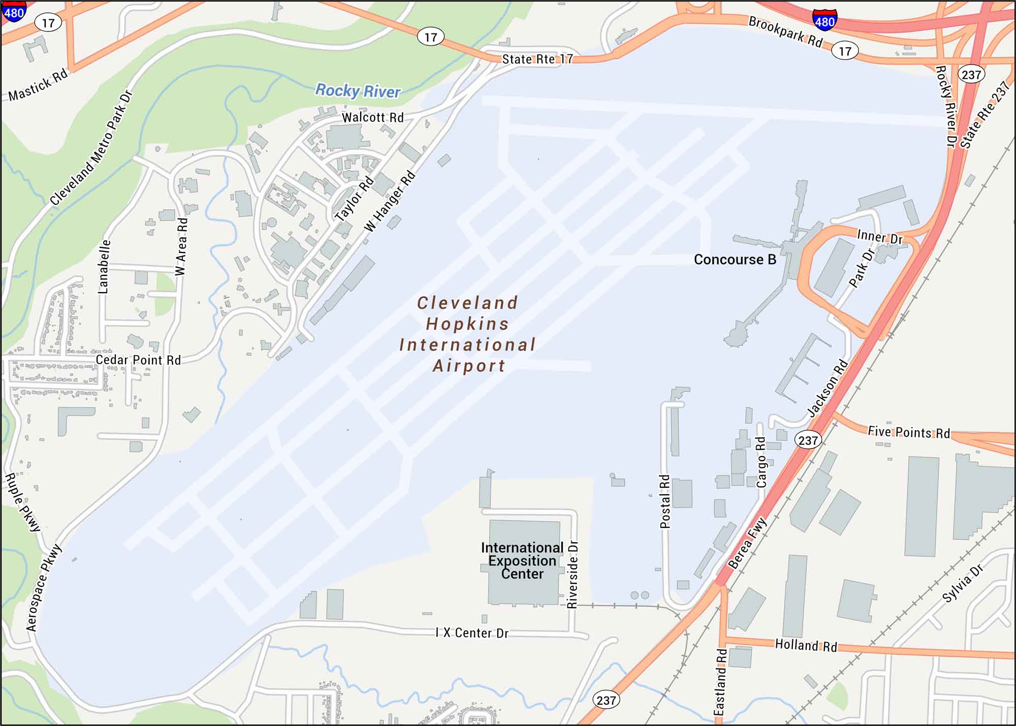
Explore our Cleveland International Airport map. The airport lies southwest of downtown Cleveland in the Hopkins area. Our map shows terminals, runways, highways, and concourses.
Map Information
On the Map
Interstates/Highways: I-480, Berea Fwy, State Rte 17, State Rte 237 Major Roads: Brookpark Rd, Riverside Dr, Jackson Rd, Rocky River Dr, Inner Dr, Park Dr, Cargo Rd, Postal Rd, Five Points Rd, Holland Rd, Eastland Rd, Aerospace Pkwy, Ruple Pkwy, Cedar Point Rd, Mastick Rd, Hanger Rd, Taylor Rd Rivers/Lakes: Rocky River Other Landmarks: International Exposition Center, Concourse BTourist Maps in Ohio
Discover all the prime locations with our tourist maps.