Map of Chester, Pennsylvania
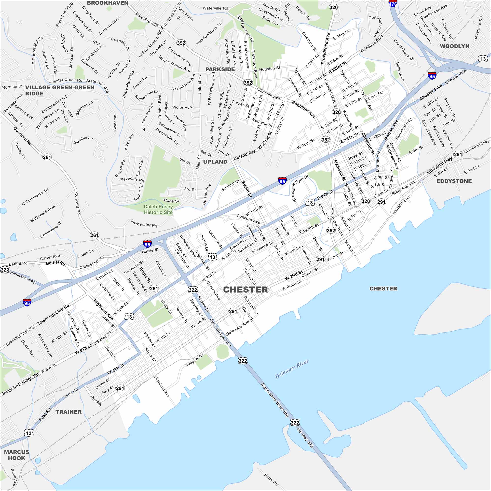
We’ve outlined Chester with its urban areas, riverfront, and rail lines. Sitting on the Delaware River, it’s one of Pennsylvania’s oldest cities. Industry and shipping mark much of its past.
Map Information
On the Map
Interstates/Highways: I-95, I-476, US Hwy 322, US Hwy 13, State Rte 320, State Rte 291, State Rte 352, State Rte 261 Major Roads: Edgemont Ave, Macdade Blvd, Providence Ave, Kerlin St, Township Line Rd, 9th St, 4th St, 2nd St, Market St, Concord Rd, Highland Ave, Flower St, Chester Creek Rd, Brookhaven Rd, Middletown Rd, Waterville Rd, Chestnut St, Morton Ave, Bullens Ln Major Rivers: Delaware River Nearby Communities: Brookhaven, Parkside, Upland, Eddystone, Woodlyn, Marcus Hook, Trainer, Bethel, Village Green-Green RidgePennsylvania State Maps
Browse maps throughout the Keystone State.


City Maps of Pennsylvania
Here is our city map collection for all of Pennsylvania.


