Map of Chattanooga, Tennessee
We’ve mapped Chattanooga with its many highways, bridges and riverbanks. The Tennessee River curves right through the city.
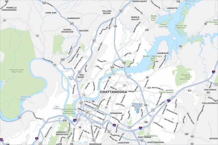
We’ve mapped Chattanooga with its many highways, bridges and riverbanks. The Tennessee River curves right through the city.
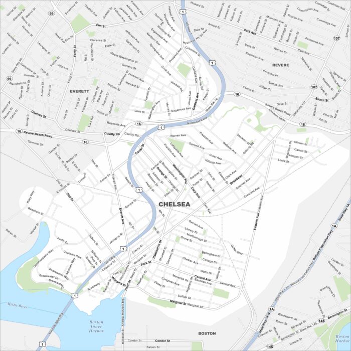
Our map of Chelsea shows streets, major routes, and the Mystic River shoreline. I’s one of the state’s smallest cities by land area.
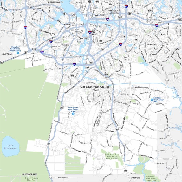
See Chesapeake with its highways, and winding waterways. Part of the Hampton Roads region, the city is known for the Great Dismal Swamp.
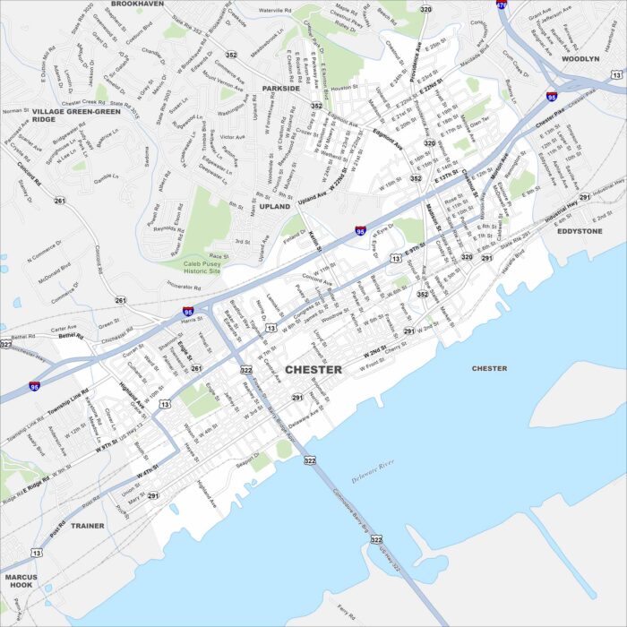
We’ve outlined Chester with its roads, riverfront and rail lines. Sitting on the Delaware River, it’s one of Pennsylvania’s oldest cities.
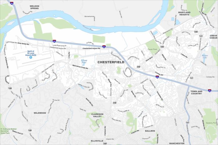
Our map of Chesterfield highlights its neighborhoods, interstates, and parkland. West of St. Louis, it stretches along the Missouri River.
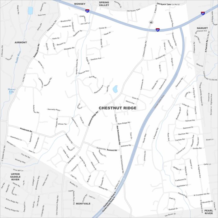
Our map of Chestnut Ridge shows the local roads, highways, and green spaces. It sits in Rockland County along the New Jersey border.
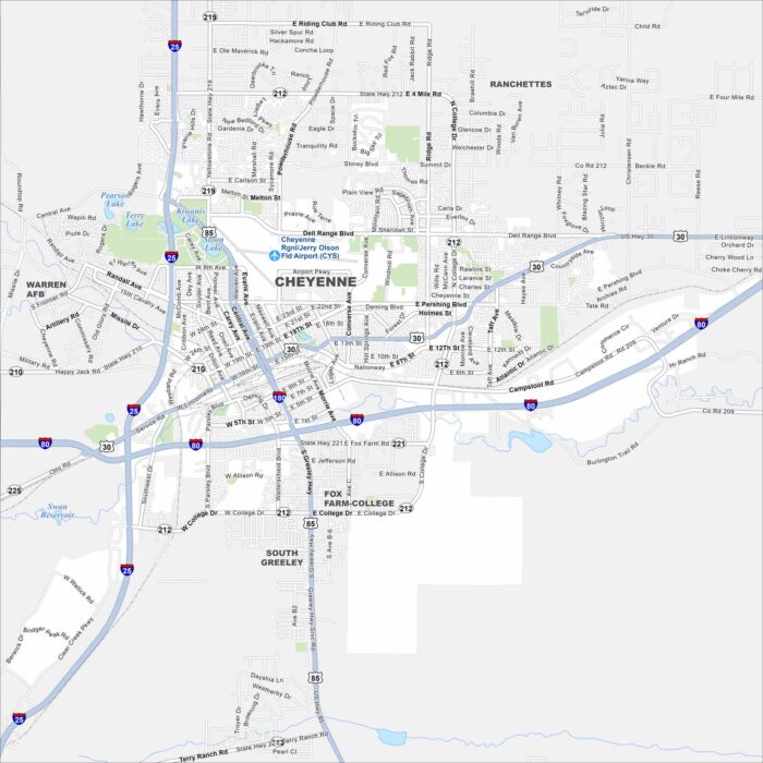
Cheyenne is mapped with its streets, highways, and rail lines. As the state capital, it lies on the high plains near the Colorado border.
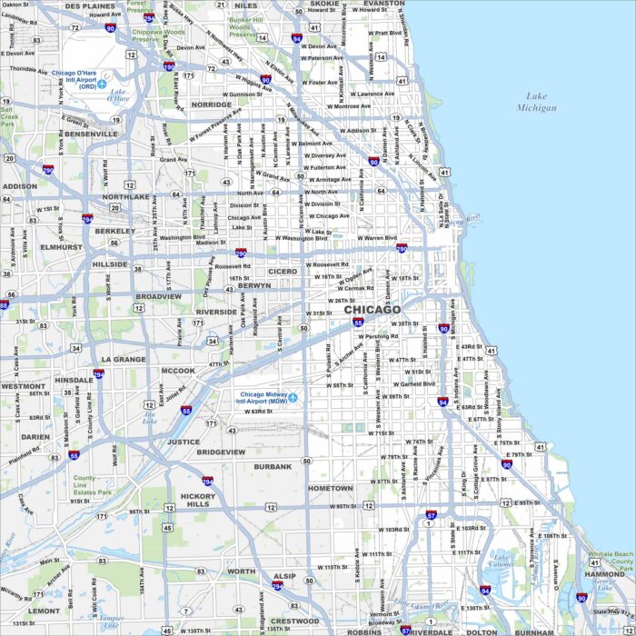
Our map of Chicago follows Lake Michigan’s shoreline. You’ll find the Chicago River, its vast road network and O’Hare International Airport.
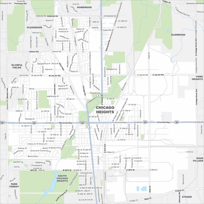
Chicago Heights sits south of the city, where major routes like Halsted Street and Lincoln Highway cross. See it on our map.
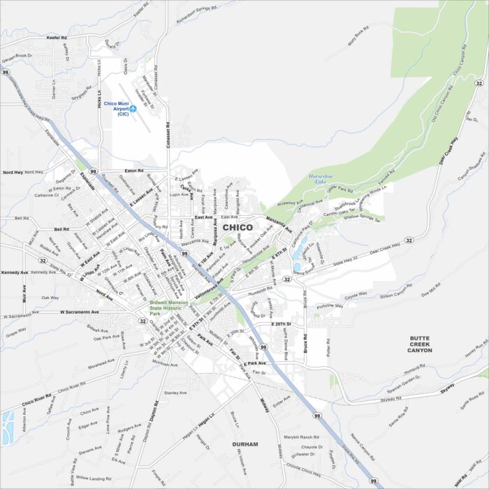
Here’s our map of Chico, California. Our map contains roads, waterways, and the nearby park system. It’s home to Bidwell Park.
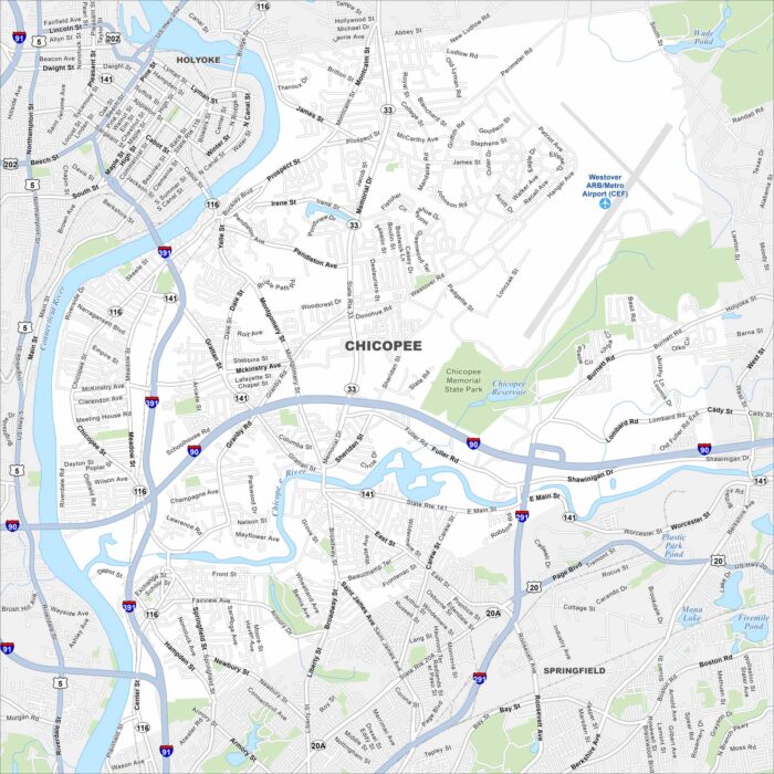
Look at Chicopee with its mapped highways and riverfront. Located on the Connecticut River, it also includes the Chicopee River.
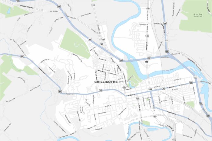
Our map of Chillicothe outlines streets, parks, and the Scioto River. Once the first capital of Ohio, the city is known for its rolling hills.
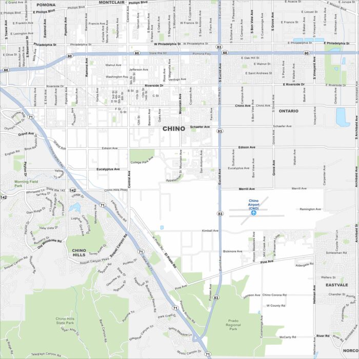
Our map of Chino shows its roads, waterways and airport. Located east of Los Angeles, the city has roots in dairy farming.
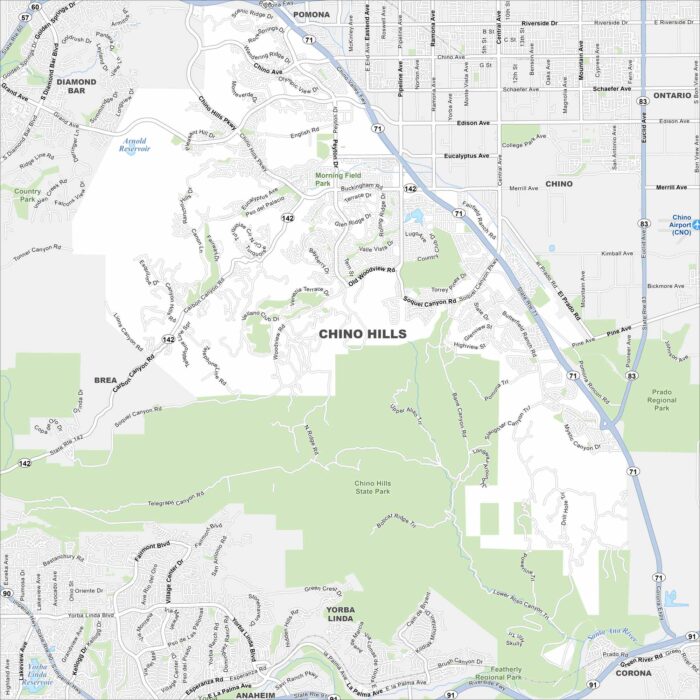
See our map of Chino Hills with its streets, highways, and parkland. This city is set among rolling hills on the edge of the Inland Empire.
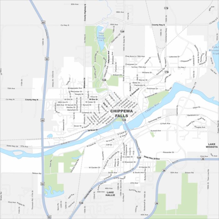
Chippewa Falls lies on the Chippewa River, with bridges tying together its neighborhoods. Lakes and forests spread north of the city.