Map of Bloomsburg, Pennsylvania
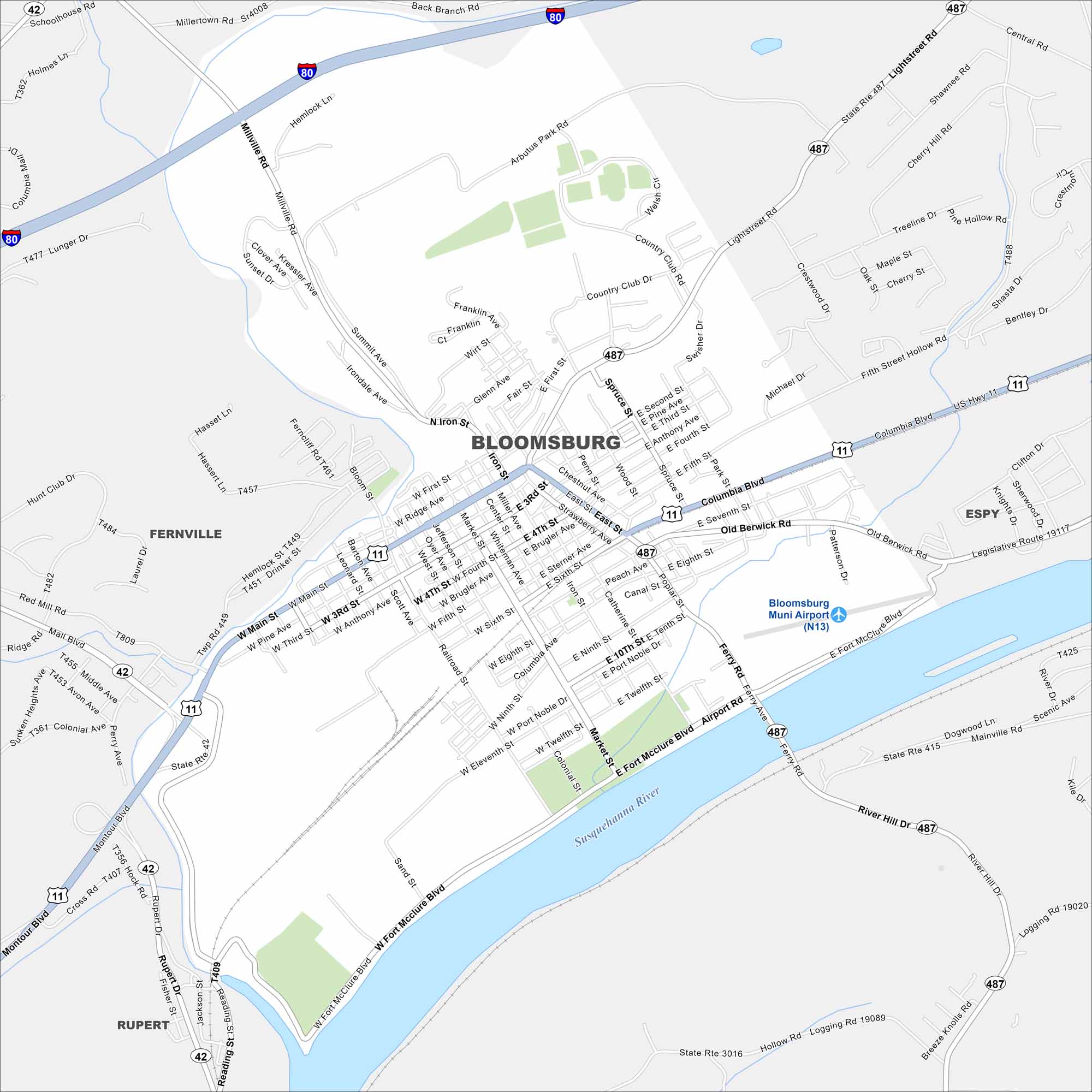
Our map of Bloomsburg shows the highways, streets, and rivers. Roads bend along the Susquehanna all the way to I-80 to the north. Bloomsburg is the only incorporated town in Pennsylvania.
Map Information
On the Map
Interstates/Highways: I-80, US Hwy 11, State Rte 487, State Rte 42 Major Roads: Columbia Blvd, Main St, Fort Mcclure Blvd, Market St, Lightstreet Rd, Old Berwick Rd, 5th St, 3rd St, 4th St, Iron St, Millville Rd, Airport Rd, Ferry Rd, East St, West St, Poplar St, Catherine St, Country Club Rd, Arbutue Park Rd, Millerton Rd Airports: Bloomsburg Muni Airport (N13) Major Rivers: Susquehanna River Nearby Communities: Fernville, Espy, RupertPennsylvania State Maps
Browse maps throughout the Keystone State.


City Maps of Pennsylvania
Here is our city map collection for all of Pennsylvania.


