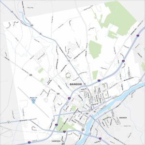
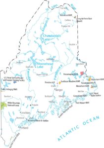
Map of Bangor, Maine
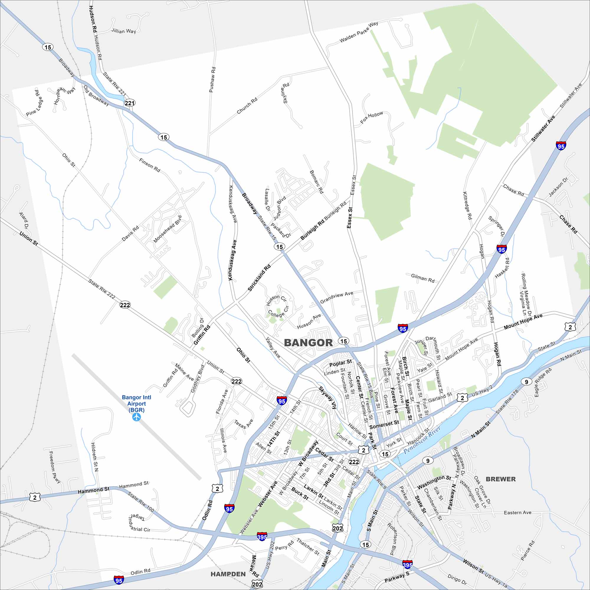
Our map of Bangor displays its highways, streets, and rivers. You can see how it connects to the Penobscot River on the east side. Bangor is known as the “Queen City of the East”.


Map Information
On the Map
Interstates/Highways: I-95, I-395, US Hwy 2, US Hwy 202, US Hwy 1a, State Rte 15, State Rte 221, State Rte 15 Bus, State Rte 222, State Rte 100, State Rte 9, State Rte 178 Major Roads: Main St, Broadway, Union St, Hammond St, State St, Mount Hope Ave, Hogan Rd, Stillwater Ave, Ohio St, Essex St, Finson Rd, Pushaw Rd, Kenduskeag Ave, Valley Ave, Griffin Rd, Odlin Rd, Webster Ave, Perry Rd, Hancock St, Washington St Airports: Bangor Intl Airport (BGR) Major Rivers: Penobscot River Nearby Communities: Brewer, HampdenMaine City Maps
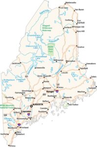
Get to know Maine with our city maps