Map of Albany, Georgia
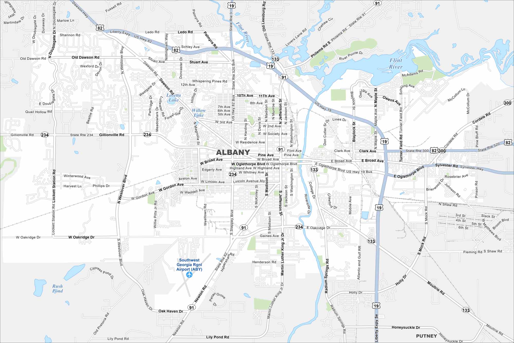
Roadways cross through Albany along the Flint River. Green spaces are also scattered around. Our map shows this South Georgia city known for its river heritage and ties to music history.
Georgia State Maps
Browse through our Georgia map collection


Map Information
On the Map
Interstates/Highways: US Hwy 82, US Hwy 19, State Rte 520, State Rte 91, State Rte 133, State Rte 234, State Rte 3, Liberty Expy Major Roads: Oglethorpe Blvd, Slappey Blvd, Broad Ave, Gillionville Rd, Oakridge Dr, Jefferson St, Washington St, Westover Blvd, Martin Luther King Jr Dr, Dawson Rd, Ledo Rd, Old Dawson Rd, Philema Rd, Palmyra Rd, Radium Springs Rd, Newton Rd, Lily Pond Rd, Moultrie Rd, Cordele Rd Airports: Southwest Georgia Rgnl Airport (ABY) Lakes and Reservoirs: Willow Lake, Loretta Lake, Cypress Pond, Rush Pond Major Rivers: Flint River Nearby Communities: PutneyGeorgia City Maps
Get to know Atlanta and Georgia’s urban areas


