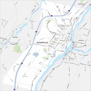
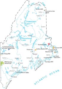
Map of Waterville, Maine
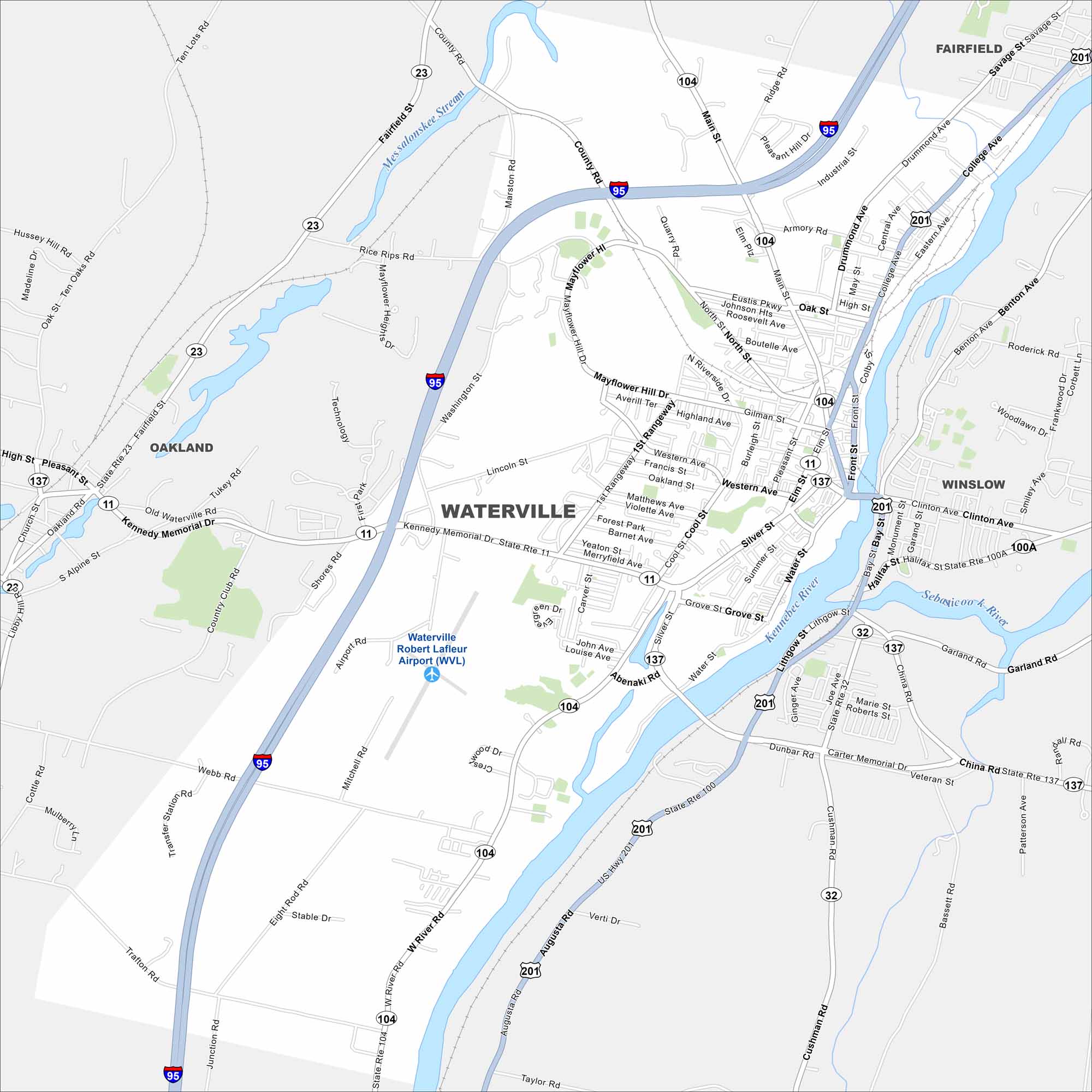
Want to see a map of Waterville? This Kennebec River city is home to Colby College and a growing arts scene. It’s also conveniently located along I-95.


Map Information
On the Map
Interstates/Highways: I-95, US Hwy 201, State Rte 104, State Rte 11, State Rte 137, State Rte 23, State Rte 32, State Rte 100, State Rte 100A Major Roads: Main St, College Ave, Kennedy Memorial Dr, West River Rd, Front St, Armory Rd, Silver St, Water St, Grove St, Abenaki Rd, Mitchell Rd, Eight Rod Rd, Trafton Rd, Webb Rd, Marston Rd, Rice Rips Rd, Fairfield St, Drummond Ave, Clinton Ave, China Rd Airports: Waterville Robert Lafleur Airport (WVL) Major Rivers: Kennebec River, Sebasticook River Nearby Communities: Winslow, Oakland, FairfieldMaine City Maps
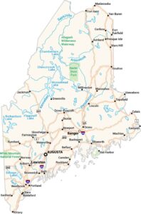
Get to know Maine with our city maps