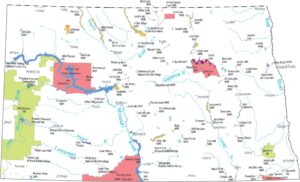
Map of Bismarck, North Dakota
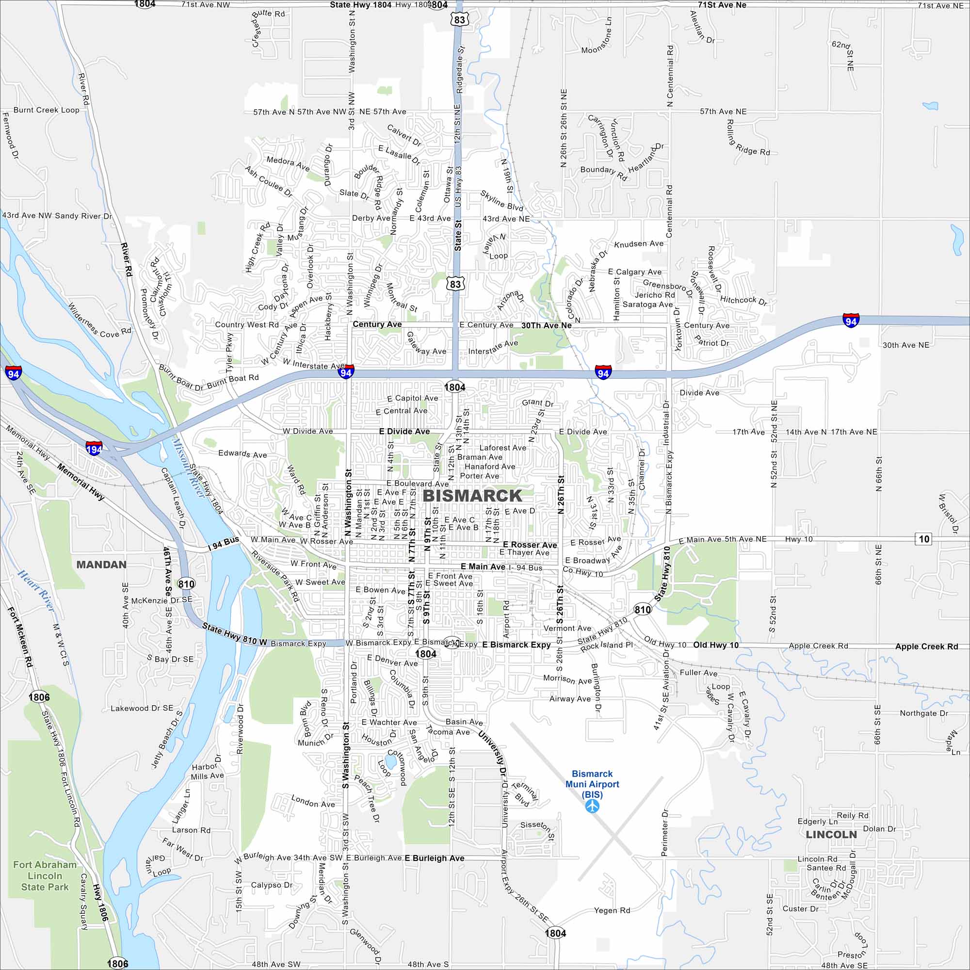
See the highways, streets, and rivers shown clearly here. Our map of Bismarck follows the Missouri River. It is the capital of North Dakota.
Map Information
On the Map
Interstates/Highways: I-94, US Hwy 83, US Hwy 1804, State Rte 1806, State Rte 810, Bismarck Expy Major Roads: Bismarck Expy, Main Ave, Divide Ave, Century Ave, Washington St, State St, 3rd St, 4th St, 7th St, 9th St, 12th St, 26th St, University Dr, Airport Rd, Memorial Hwy, Tyler Pkwy, Burnt Boat Rd, Burleigh Ave, London Ave, Airway Ave Airports: Bismarck Muni Airport (BIS) Major Rivers: Missouri River, Heart River Parks and Preserves: Fort Abraham Lincoln State Park Nearby Communities: Mandan, LincolnNorth Dakota State Maps
Find the map you need of the Peace Garden State.
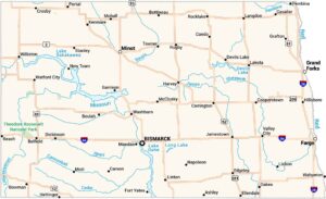


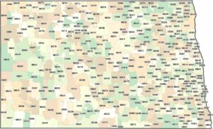
City Maps of North Dakota
North Dakota city maps made simple