Map of Carlisle Borough, Pennsylvania
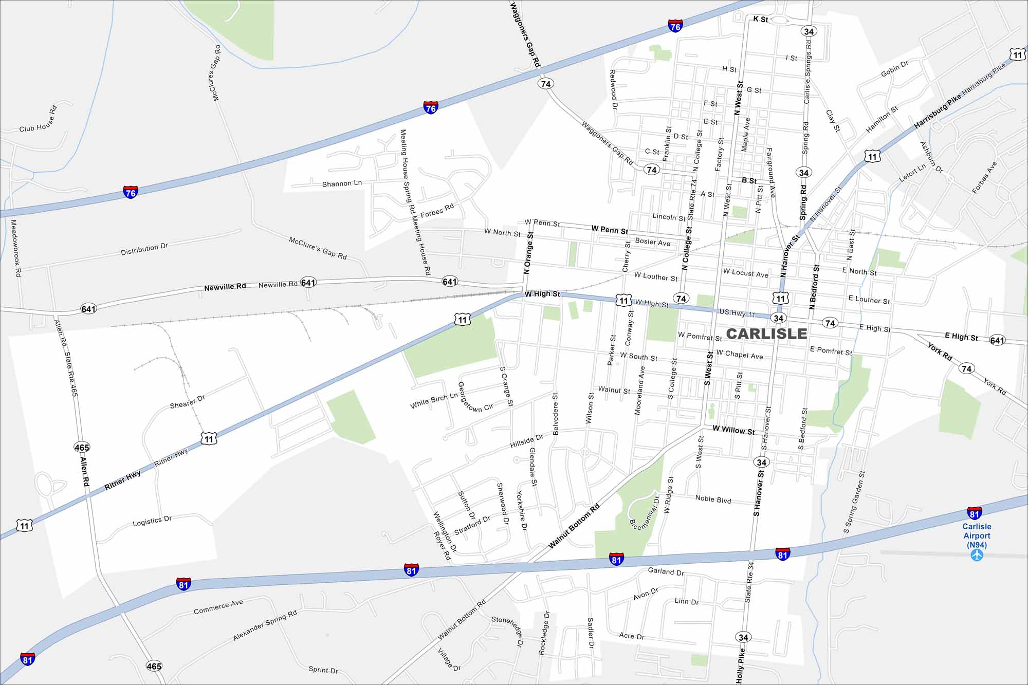
See Carlisle on our map, a small borough in south-central Pennsylvania. It’s known for its car shows because of its long history with auto events. The mix of town and countryside is clear here.
Map Information
On the Map
Interstates/Highways: I-76, I-81, US Hwy 11, State Rte 641, State Rte 74, State Rte 34, State Rte 465 Major Roads: High St, Hanover St, Harrisburg Pike, Walnut Bottom Rd, York Rd, College St, Orange St, Pitt St, West St, Bedford St, Spring Garden St, Belvedere St, Noble Blvd, Alexander Spring Rd, Commerce Ave, Ritner Hwy, Newville Rd, Waggoners Gap Rd, Holly Pike, Cave Hill Dr Airports: Carlisle Airport (N94) Nearby Communities: SchlusserPennsylvania State Maps
Browse maps throughout the Keystone State.


City Maps of Pennsylvania
Here is our city map collection for all of Pennsylvania.


