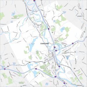
Map of Concord, New Hampshire
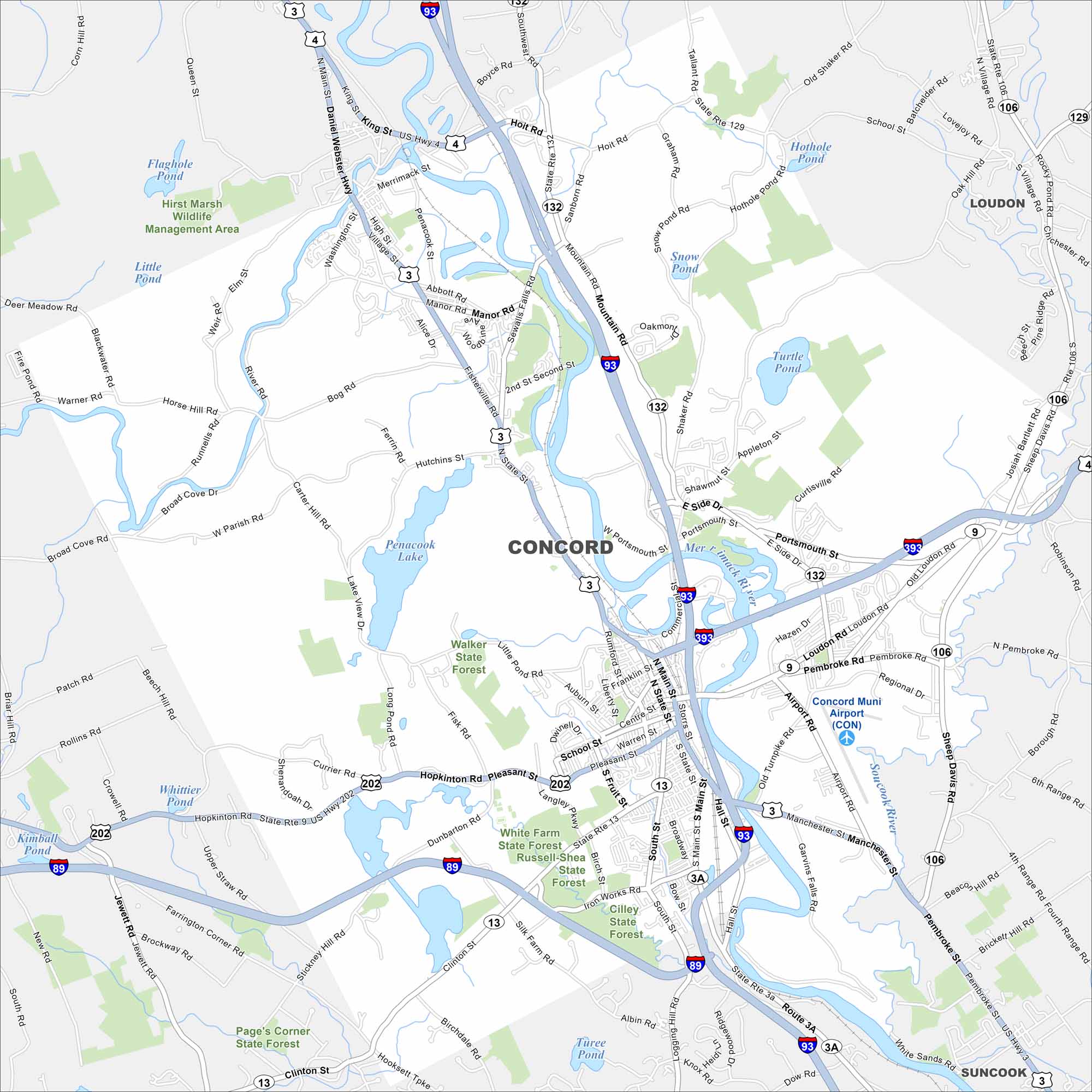
Concord is shown with Interstates 93 and 89 running through the city. As the state capital, it stands on the Merrimack River. Rolling New England hills surround the area.
Map Information
On the Map
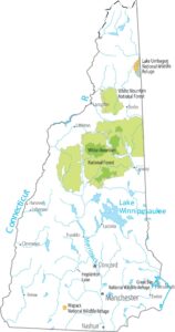
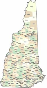
Interstates/Highways: I-93, I-89, I-393, US Hwy 4, US Hwy 3, US Hwy 202, State Rte 13, State Rte 3A, State Rte 132, State Rte 9, State Rte 106, State Rte 129 Major Roads: Main St, Loudon Rd, State St, Fisherville Rd, Clinton St, Pleasant St, Manchester St, Centre St, Hall St, Washington St, Sheep Davis Rd, Penacook St, Silk Farm Rd, Mountain Rd, Airport Rd, Rumford St, Shawmut St, Bog Rd, Iron Works Rd, Birch St Airports: Concord Muni Airport (CON) Lakes and Reservoirs: Penacook Lake, Turtle Pond, Snow Pond, Hothole Pond, Little Pond, Flagpole Pond, Whittier Pond, Turee Pond Major Rivers: Merrimack River Parks and Preserves: Hirst Marsh Wildlife Management Area, Walker State Forest, White Farm State Forest, Russell-Shea State Forest, Cilley State Forest, Page’s Corner State Forest Nearby Communities: Loudon, SuncookNew Hampshire State Maps
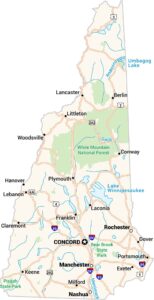
Select one of our maps of the Granite State.


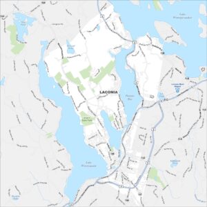
City Maps of New Hampshire
Explore Concord and New Hampshire urban areas