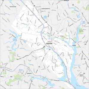
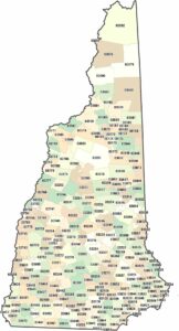
Map of Dover, New Hampshire

Dover is set in southeastern New Hampshire. It’s positioned between Piscataqua and Bellamy Rivers. This map shows its downtown streets with waterways. It’s one of the oldest permanent settlements in the state.
Map Information
On the Map
Interstates/Highways: US Hwy 4, State Rte 16, State Rte 108, State Rte 9, State Rte 155, State Rte 155A, State Rte 101, State Rte 236, State Rte 103 Major Roads: Central Ave, Spaulding Tpke, Silver St, Main St, Washington St, Dover Point Rd, Portland Ave, Knox Marsh Rd, Durham Rd, Bellamy Rd, Sixth St, Madbury Rd, Broadway, Back River Rd, Mast Rd, Toll End Rd, County Farm Rd, Littleworth Rd, Henry Law Ave, Stark Ave Airports: Lakes and Reservoirs: Bellamy Reservoir, Durham Reservoir, Barbadoes Pond, Willand Pond, Leighs Mill Pond Major Rivers: Cocheco River, Bellamy River, Oyster River, Piscataqua River, Salmon Falls River Parks and Preserves: Vaughan Woods Memorial State Park Nearby Communities: Rochester, Somersworth, Berwick, Durham, South EliotNew Hampshire State Maps
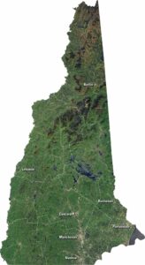
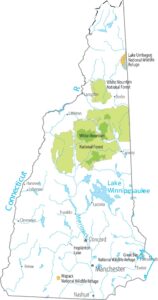
Select one of our maps of the Granite State.
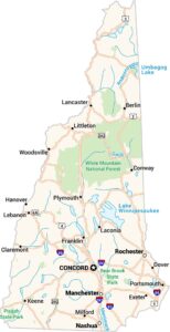


City Maps of New Hampshire
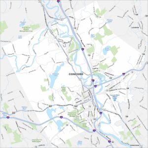
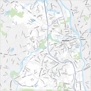
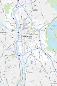
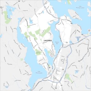
Explore Concord and New Hampshire urban areas