Map of Dunwoody, Georgia
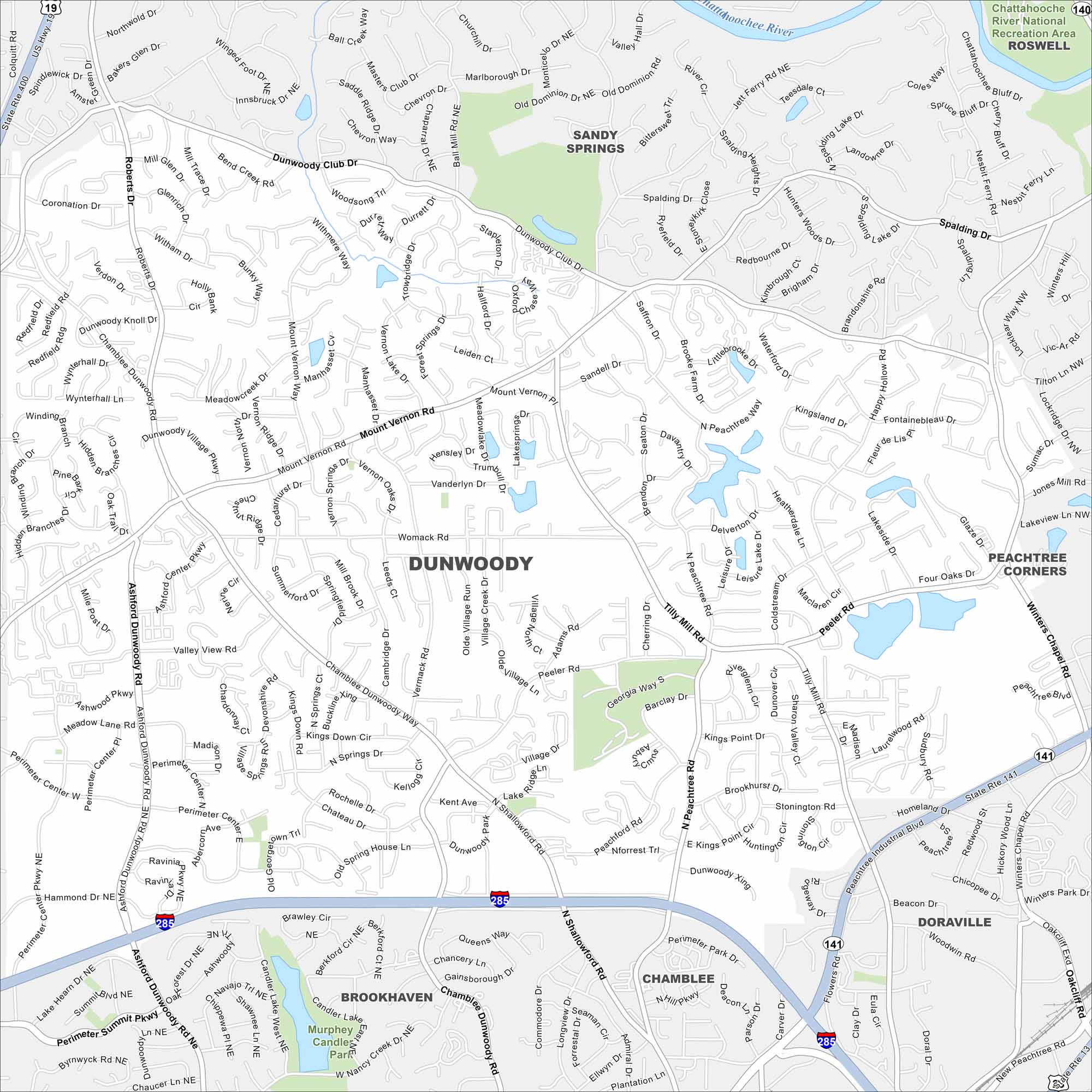
Dunwoody is just north of Atlanta. On the map you’ll notice major highways cutting across neighborhoods and wooded greenbelts. Its a very well-connected suburb of Atlanta.
Georgia State Maps
Browse through our Georgia map collection


Map Information
On the Map
Interstates/Highways: I-285, State Rte 141, US Hwy 19 Major Roads: Ashford Dunwoody Rd, Mount Vernon Rd, Chamblee Dunwoody Rd, Peeler Rd, Tilly Mill Rd, Spalding Dr, North Shallowford Rd, Winters Chapel Rd, Roberts Rd, Vermack Rd, Womack Rd, Perimeter Center West, Perimeter Center East, Hammond Dr, Jett Ferry Rd, Nerine Cir, Vanderlyn Dr, Happy Hollow Rd, Nandina Ln, Dunwoody Club Dr Major Rivers: Chattahoochee River Parks and Preserves: Murphey Candler Park, Chattahoochee River National Recreation Area Nearby Communities: Sandy Springs, Roswell, Peachtree Corners, Doraville, Brookhaven, ChambleeGeorgia City Maps
Get to know Atlanta and Georgia’s urban areas


