Map of Emmaus Borough, Pennsylvania
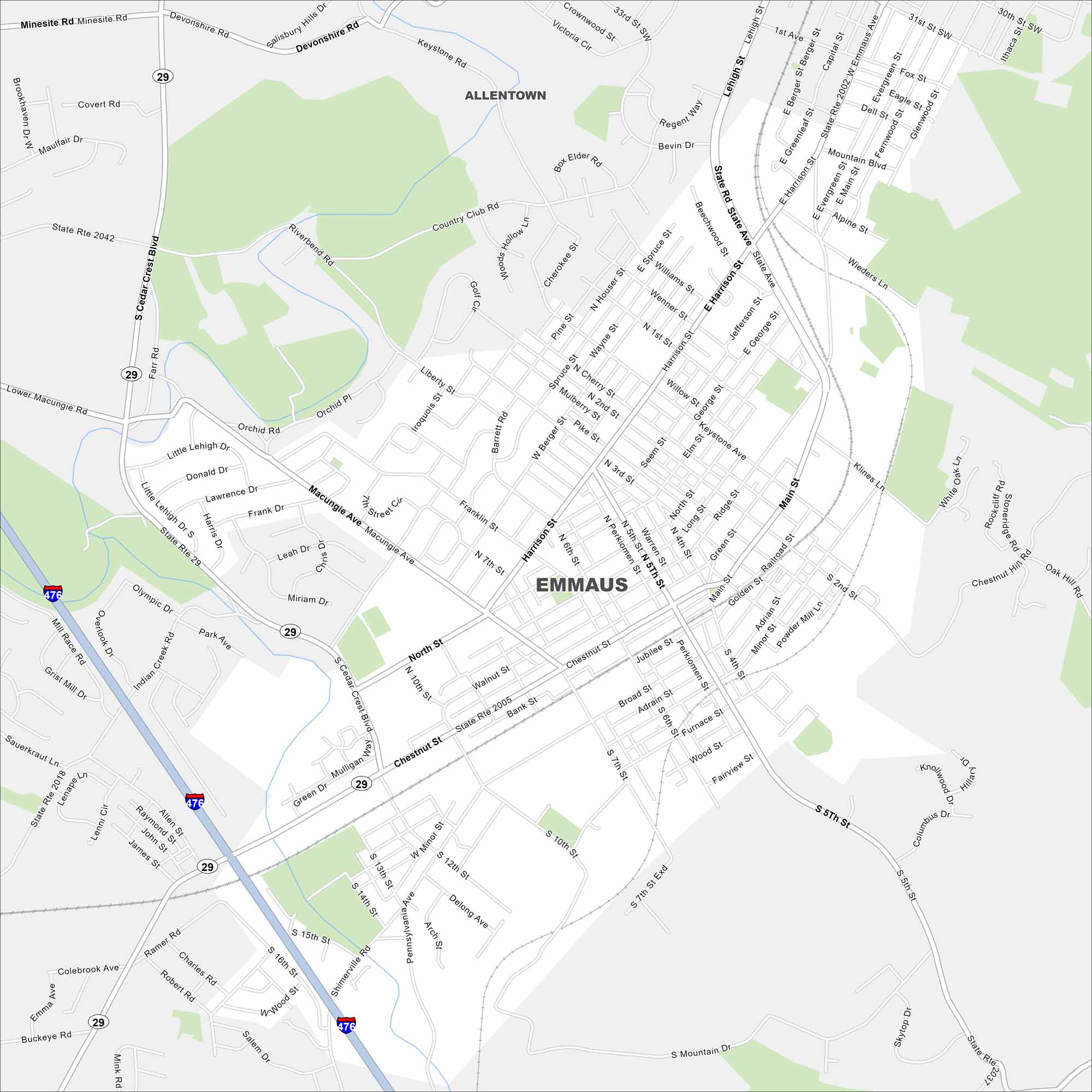
Look at Emmaus on our map just south of Allentown. Main roads like Chestnut Street and Cedar Crest Boulevard shape the borough. Emmaus is part of the Lehigh Valley, near the foothills of South Mountain.
Map Information
On the Map
Interstates/Highways: State Rte 29, I-476 Major Roads: Macungie Ave, Chestnut St, Main St, State Ave, Cedar Crest Blvd, Harrison St, 5th St, 10th St, Broad St, Walnut St, Keystone Rd, Devonshire Rd, Orchard Pl, Lehigh St, Ridge St, Minor St, Shimerville Rd, Ramer Rd, Salem Rd, Buckeye Rd Nearby Communities: AllentownPennsylvania State Maps
Browse maps throughout the Keystone State.


City Maps of Pennsylvania
Here is our city map collection for all of Pennsylvania.


