Map of Hanover Borough, Pennsylvania
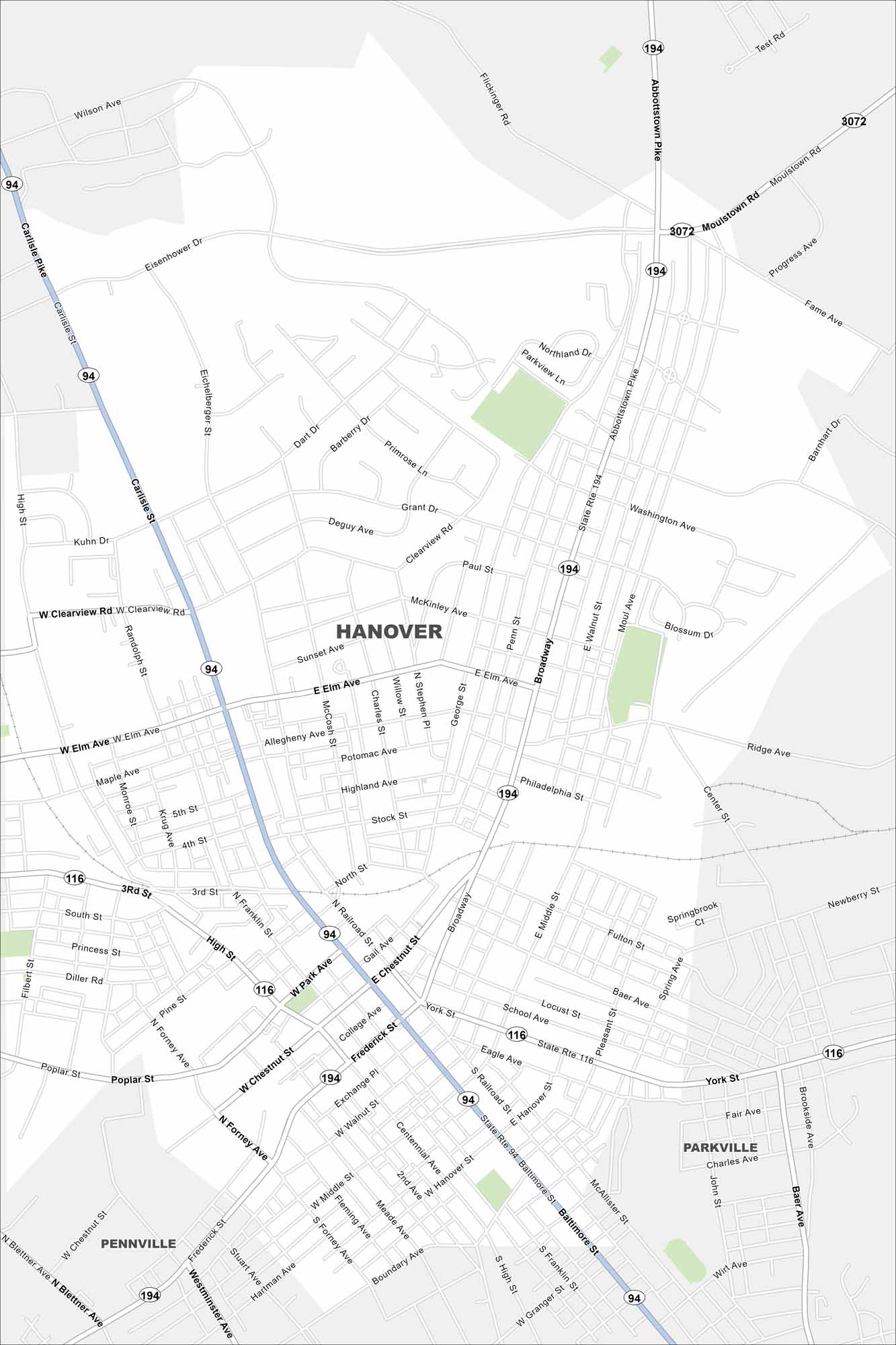
Hanover is in southern Pennsylvania near the Maryland border. You’ll notice the compact street grid on our map. It’s positioned here because of its history as a crossroads area.
Map Information
On the Map
Interstates/Highways: State Rte 94, State Rte 194, State Rte 116 Major Roads: Broadway, Carlisle St, Baltimore St, Frederick St, Elm Ave, Clearview Rd, Eisenhower Dr, Abbottstown Pike, York St, Chestnut St, Middle St, High St, Grandview Rd, Wilson Ave, Eichelberger St, Moul Ave, Washington Ave, Center St, Main St, Centennial Ave Nearby Communities: Pennville, ParkvillePennsylvania State Maps
Browse maps throughout the Keystone State.


City Maps of Pennsylvania
Here is our city map collection for all of Pennsylvania.


