Map of Wilkes-Barre, Pennsylvania
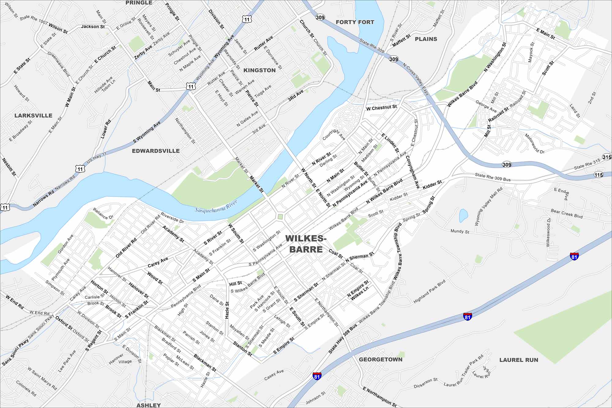
This map of Wilkes-Barre shows its pristine location along the Susquehanna River. But overall, it’s a historic city tied to coal mining and industry.
Map Information
On the Map
Interstates/Highways: I-81, US Hwy 11, State Rte 115, State Rte 309, State Rte 315 Major Roads: Wilkes-Barre Blvd, River St, Main St, Pennsylvania Ave, Kidder St, Hazle St, Scott St, Carey Ave, Wyoming Ave, Pierce St, Market St, Northampton St, Cross Valley Expy, Sans Souci Pkwy, Blackman St, Empire St, Coal St, Spring St, Mundy St, Highland Park Blvd Major Rivers: Susquehanna River Nearby Communities: Kingston, Forty Fort, Plains, Edwardsville, Larksville, Courtdale, Pringle, Ashley, Georgetown, Laurel RunPennsylvania State Maps
Browse maps throughout the Keystone State.


City Maps of Pennsylvania
Here is our city map collection for all of Pennsylvania.


