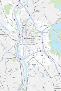
Map of Manchester, New Hampshire
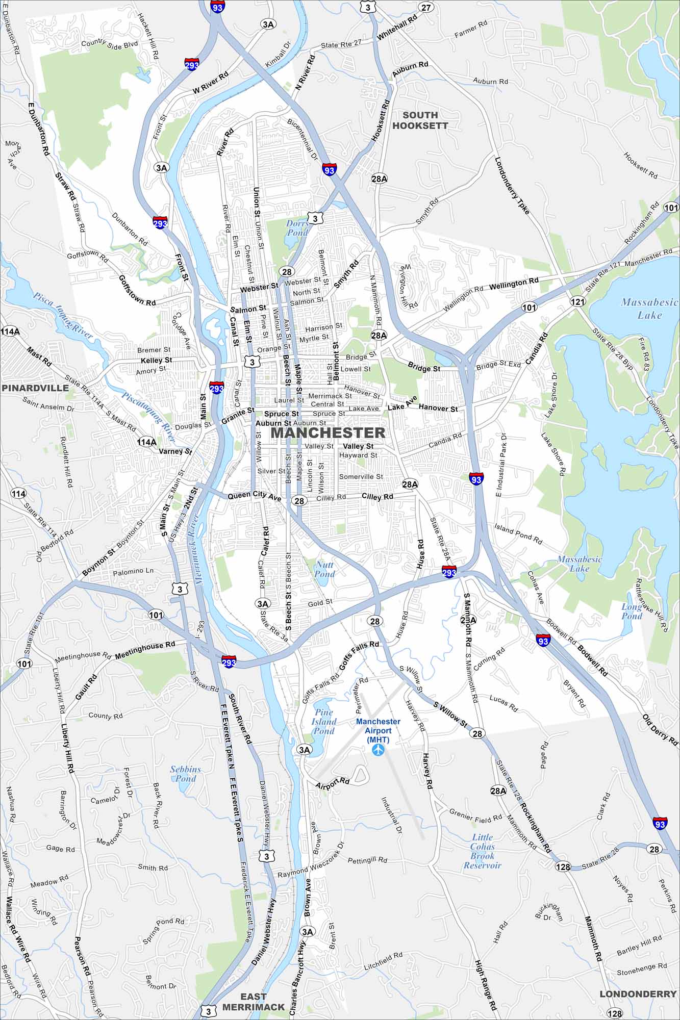
Manchester anchors southern New Hampshire. Our map displays the Merrimack River, which runs through its center. Highways connect the city to Boston and Concord.
Map Information
On the Map
Interstates/Highways: I-93, I-293, State Rte 101, State Rte 28, State Rte 28 Byp, State Rte 3A, State Rte 114, State Rte 114A, State Rte 121, State Rte 27 Major Roads: Main St, Webster St, Bridge St, Queen City Ave, South Willow St, Mammoth Rd, Daniel Webster Hwy, Valley St, Granite St, Lake Ave, Hanover St, Candia Rd, Wellington Rd, F E Everett Tpke, Hooksett Rd, Second St, Brown Ave, Goffstown Rd, Mast Rd, River Rd Airports: Manchester Airport (MHT) Lakes and Reservoirs: Massabesic Lake, Pine Island Pond, Nutt Pond, Dorrs Pond, Sebbins Pond, Little Cohas Brook Reservoir, Long Pond Major Rivers: Merrimack River, Piscataquog River Nearby Communities: Pinardville, South Hooksett, East Merrimack, LondonderryNew Hampshire State Maps
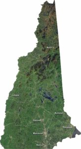
Select one of our maps of the Granite State.
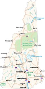


City Maps of New Hampshire
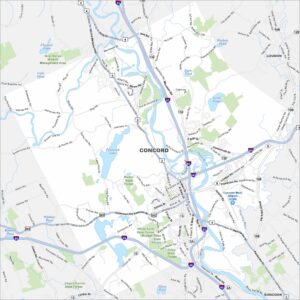
Explore Concord and New Hampshire urban areas