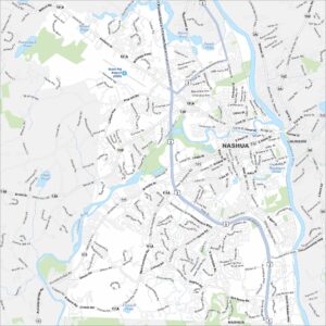
Map of Nashua, New Hampshire
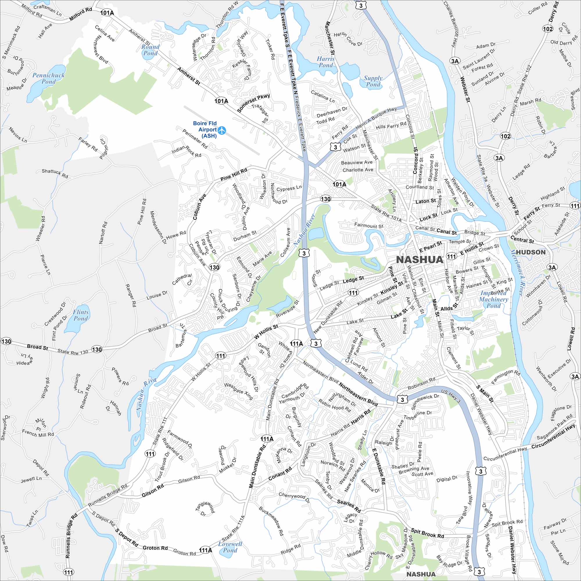
Our map of Nashua shows a city on the Merrimack and Nashua River. Neighborhoods fan out from a compact downtown, with parks and trails along the water. It’s one of the state’s largest cities.
Map Information
On the Map
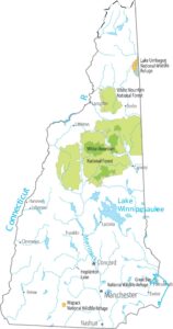
Interstates/Highways: US Hwy 3, State Rte 111, State Rte 111A, State Rte 101A, State Rte 130, State Rte 3A, Daniel Webster Hwy Major Roads: Main St, F.E Everett Tpke, Broad St, Amherst St, Hollis St, Kinsley St, East Dunstable Rd, West Dunstable Rd, Henri Burque Hwy, Spit Brook Rd, Concord St, Canal St, Lowell Rd, Pine Hill Rd, Ridge Rd, Harris Rd, Thornton Rd, Ledge St, Riverside St Airports: Boire Fld Airport (ASH) Lakes and Reservoirs: Lovewell Pond, Harris Pond, Supply Pond, Round Pond, Pennichuck Pond, Flints Pond, Mill Pond Major Rivers: Nashua River, Merrimack River Nearby Communities: HudsonNew Hampshire State Maps
Select one of our maps of the Granite State.
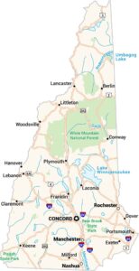


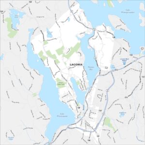
City Maps of New Hampshire
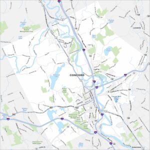
Explore Concord and New Hampshire urban areas