Map of Newnan, Georgia
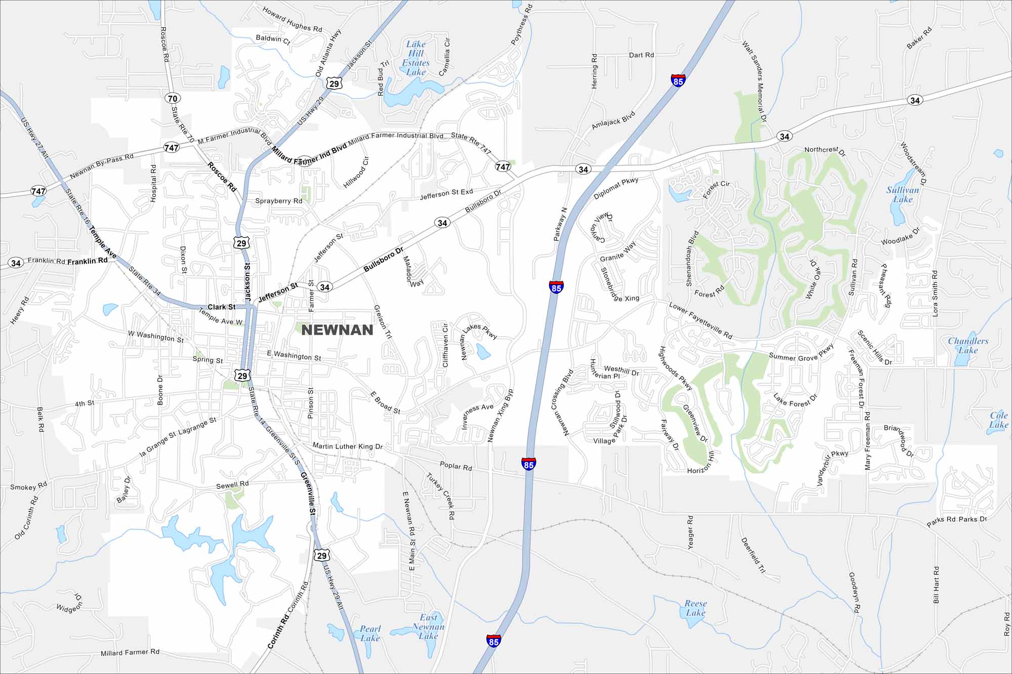
Newnan sits south of Atlanta in Coweta County. Our map highlights its major highways and surrounding wooded areas. It’s often called the “City of Homes” because of its high home ownership rate.
Georgia State Maps
Browse through our Georgia map collection


Map Information
On the Map
Interstates/Highways: I-85, US Hwy 29, State Rte 34, State Rte 70, State Rte 16, State Rte 747 Major Roads: Bullsboro Dr, Millard Farmer Ind Blvd, Newnan Crossing Blvd, Lower Fayetteville Rd, Greenville St, Temple Ave, Clark St, Franklin Rd, Jackson St, Lagrange St, Smokey Rd, Corinth Rd, Poplar Rd, Turkey Creek Rd, Shenandoah Blvd, Greison Trl, Roscoe Rd, Hospital Rd, Heery Rd, Parks Rd Lakes and Reservoirs: Lake Hill Estates Lake, Sullivan Lake, Woodlake Dr, Chandlers Lake, Cole Lake, Reese Lake, Pearl Lake, East Newnan Lake Nearby Communities: SharpsburgGeorgia City Maps
Get to know Atlanta and Georgia’s urban areas


