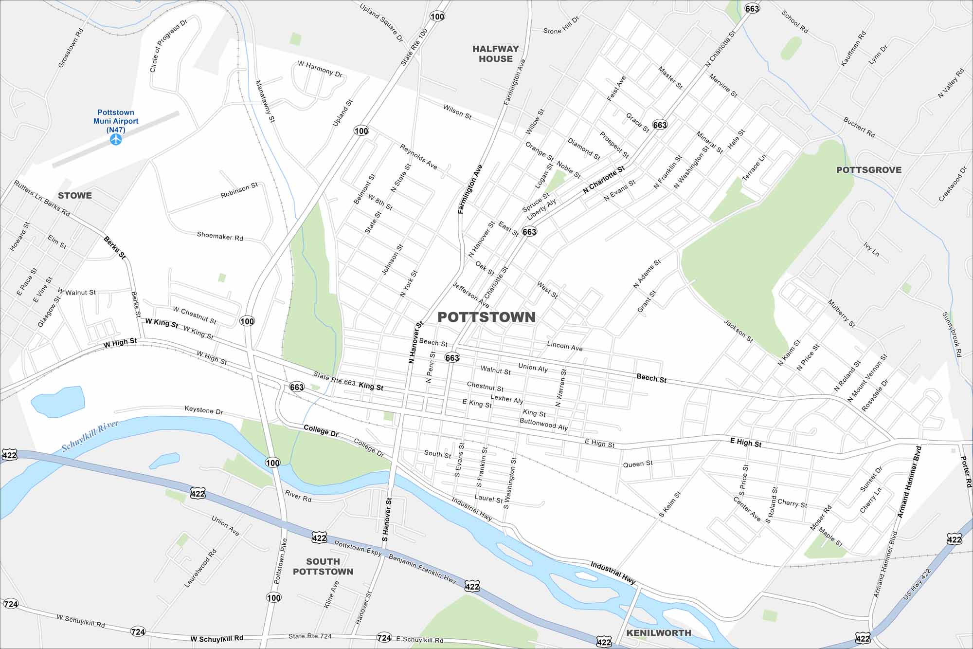
Map of Pottstown Borough, Pennsylvania
Pottstown hugs the Schuylkill River with a compact downtown layout. Rolling hills and farmland surround the town. Historic sites reflect its long industrial past.
Map Information
On the Map
Interstates/Highways: US Hwy 422, State Rte 100, State Rte 663, State Rte 724 Major Roads: High St, King St, Hanover St, Charlotte St, Keim St, Farmington Ave, State St, Wilson St, Mervine St, Beech St, Industrial Hwy, Schuylkill Rd, College Dr, Porter Rd, Armand Hammer Blvd, Moser Rd, Cherry St, Queen St, Evans St, Franklin St Airports: Pottstown Muni Airport (N47) Major Rivers: Schuylkill River Nearby Communities: Stowe, South Pottstown, Kenilworth, Pottsgrove, Halfway HousePennsylvania State Maps
Browse maps throughout the Keystone State.


City Maps of Pennsylvania
Here is our city map collection for all of Pennsylvania.


