Map of Rincon, Georgia
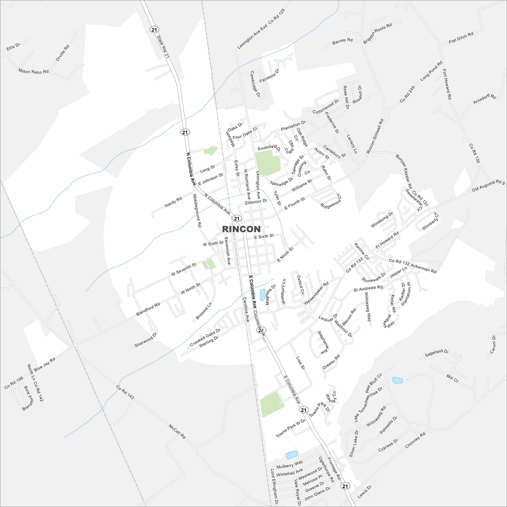
Our map of Rincon lays out the main streets and local neighborhoods. The town is close to Savannah so it’s easy to commute back and forth into city.
Georgia State Maps
Browse through our Georgia map collection


Map Information
On the Map
Interstates/Highways: State Rte 21 Major Roads: Columbia Ave, Rincon-Stillwell Rd, Fort Howard Rd, McCall Rd, Blandford Rd, Middleground Rd, Lexington Ave, Weisenbaker Rd, Towne Park W Dr, Oglethorpe Rd, Blue Jay Rd, Bunyan Kessler Rd, Ackerman Rd, Long Pond Rd, Flat Ditch Rd, Fourth St, Sixth St, Ninth St, Savannah Ave, Carolina Ave Lakes and Reservoirs: Lake TomacheecheeGeorgia City Maps
Get to know Atlanta and Georgia’s urban areas


