Map of Smyrna, Georgia
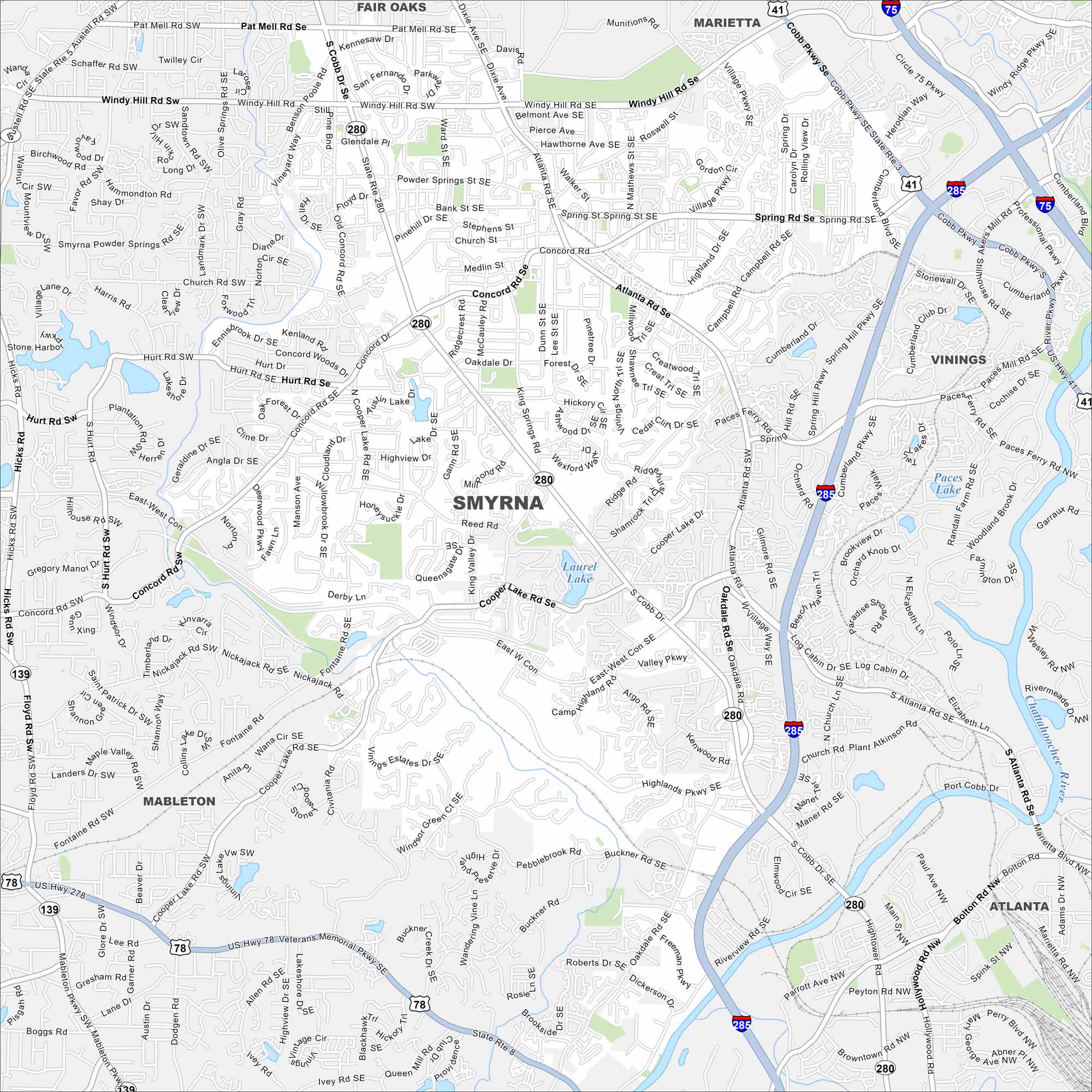
Here’s our map of Smyrna, a fast-growing suburb near Atlanta. Located in Cobb County, it’s part of the inner ring of the Atlanta Metropolitan Area.
Georgia State Maps
Browse through our Georgia map collection


Map Information
On the Map
Interstates/Highways: I-75, I-285, US Hwy 78, US Hwy 278, US Hwy 41, State Rte 5, State Rte 8, State Rte 280 Major Roads: Cobb Pkwy, S Cobb Dr, Atlanta Rd Se, Windy Hill Rd Se, Concord Rd Se, Spring Rd Se, East-West Con, Austell Rd, Veterans Memorial Pkwy, Mableton Pkwy, Marietta Blvd, South Cobb Dr, Cooper Lake Rd, Hicks Rd, Church Rd, King Springs Rd, Highlands Pkwy Se, Log Cabin Dr Se, Paces Ferry Rd, Cumberland Blvd Lakes and Reservoirs: Paces Lake, Laurel Lake Major Rivers: Chattahoochee River Nearby Communities: Marietta, Vinings, Mableton, Fair Oaks, AtlantaGeorgia City Maps
Get to know Atlanta and Georgia’s urban areas


