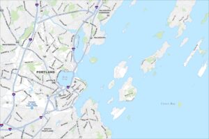
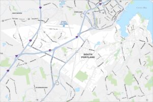
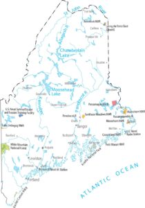
Map of South Portland, Maine
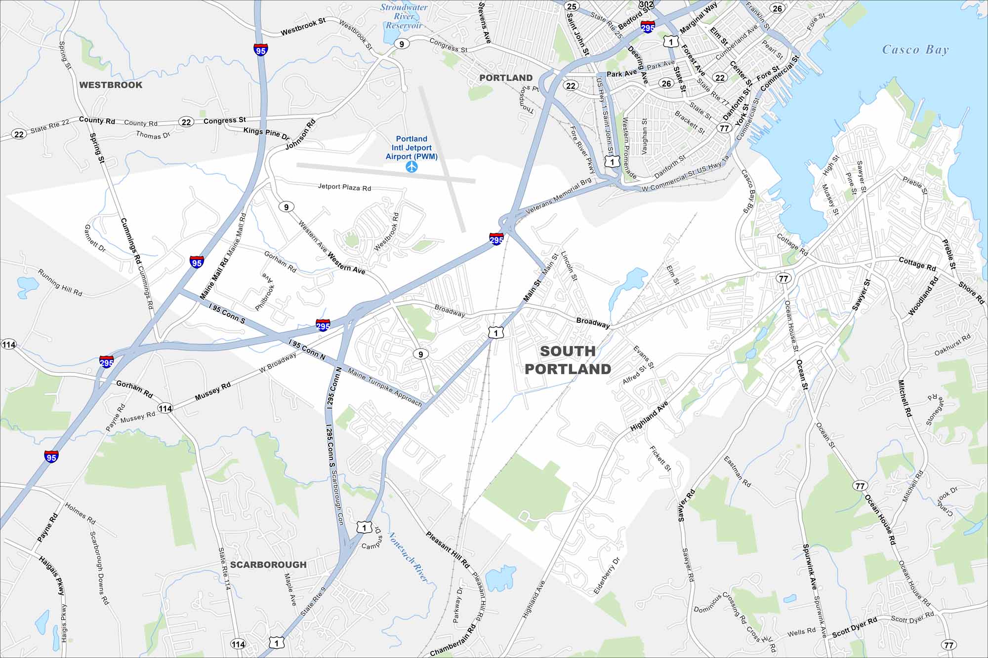
South Portland is known for its working waterfront and views of Casco Bay. Our map shows you around busy shopping districts and coastal parks.


Map Information
On the Map
Interstates/Highways: I-95, I-295, US Hwy 1, US Hwy 1a, State Rte 114, State Rte 9, State Rte 22, State Rte 25, State Rte 26, State Rte 77, I-95 Conn S, I-95 Conn N, I-295 Conn S Major Roads: Broadway, Main St, Western Ave, Gorham Rd, Westbrook St, Ocean St, Highland Ave, Payne Rd, Congress St, Commercial St, Running Hill Rd, Cummings Rd, Mussey Rd, Pleasant Hill Rd, Sawyer Rd, Mitchell Rd, Spurwink Ave, Ocean House Rd, Stillman Rd, Evans St Airports: Portland Intl Jetport Airport (PWM) Lakes and Reservoirs: Casco Bay, Stroudwater River Reservoir Major Rivers: Nonesuch River Nearby Communities: Portland, Scarborough, WestbrookMaine City Maps
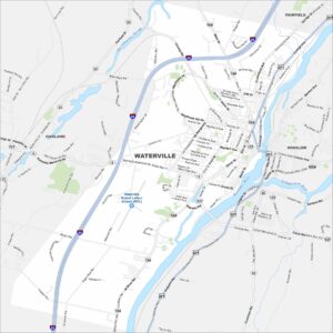
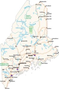
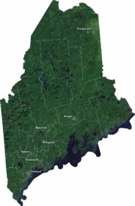
Get to know Maine with our city maps