Westchester Airport Map
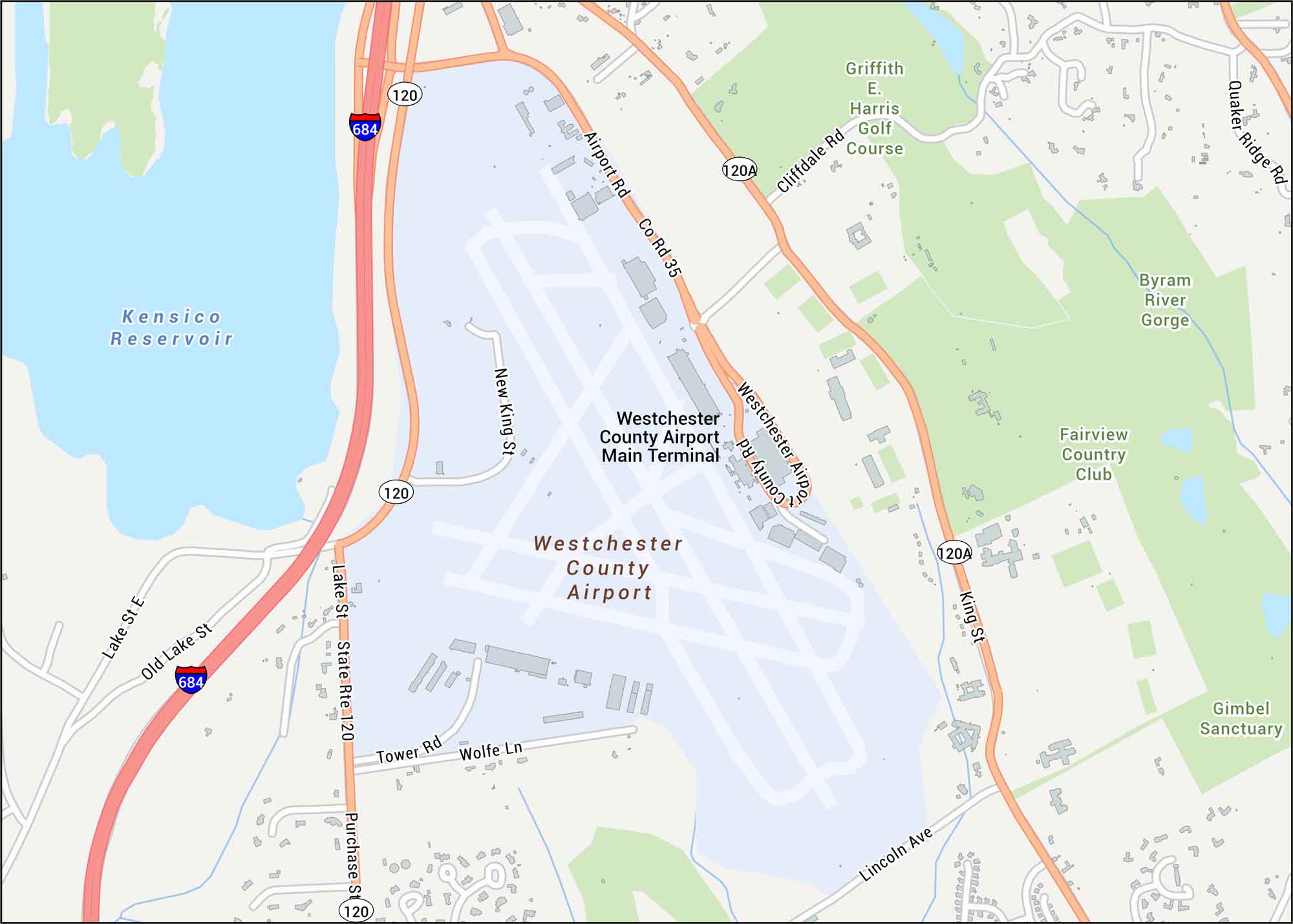
Here’s our map of Westchester County Airport showing the main terminal and access via Route 120 and I-684. We’ve mapped out every major road including parks and reservoirs.
Map Information
On the Map
Interstates/Highways: I-684, State Rte 120 Major Roads: Westchester Airport Rd, Airport Rd, King St, Purchase St, Lake St, Old Lake St, Tower Rd, Wolfe Ln, Lincoln Ave, New King St, Cliffdale Rd, Quaker Ridge Rd, Co Rd 35 Water Bodies: Kensico Reservoir, Byram River Gorge Parks/Recreation: Griffith E. Harris Golf Course, Fairview Country Club, Gimbel Sanctuary Other Landmarks: Westchester County Airport Main TerminalTourist Maps in New York
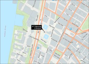
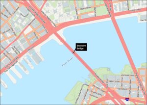
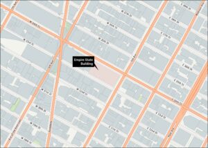
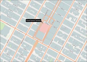
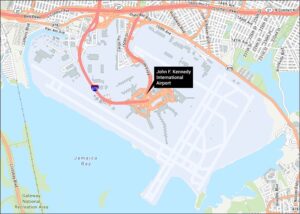
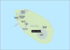
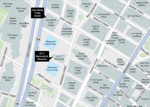
Discover all the prime locations with our tourist maps.