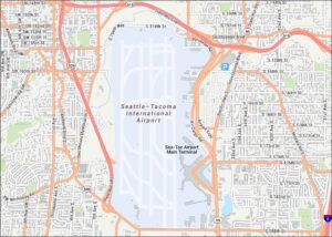
Space Needle Map
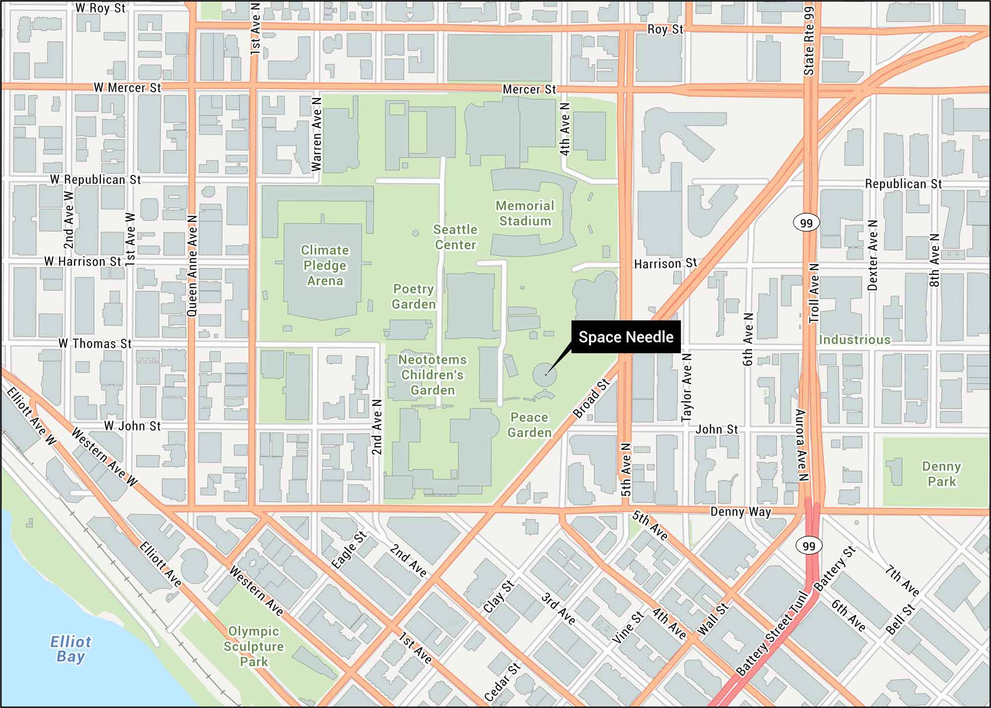
Use our Space Needle map to explore Seattle Center, including Broad Street, Denny Way and Mercer Street. The Space Needle stands at the cultural heart of Seattle, built for the 1962 World’s Fair.
Map Information
On the Map
Interstates/Highways: State Rte 99 Major Roads: Denny Way, Broad St, Mercer St, Western Ave, Elliott Ave, 5th Ave, 4th Ave, 1st Ave, 2nd Ave, Aurora Ave, Dexter Ave, Battery St Tunl, Taylor Ave, Queen Anne Ave, Wall St, Vine St, Cedar St, Clay St, Bell St, 6th Ave Bays: Elliot Bay Parks/Forests: Seattle Center, Olympic Sculpture Park, Denny Park, Peace Garden, Neototems Children’s Garden, Poetry Garden Other Landmarks: Space Needle, Climate Pledge Arena, Memorial StadiumTourist Maps in Washington
Discover all the prime locations with our tourist maps.