Home » Tourist Maps » SeaTac Airport Map

SeaTac Airport Map

Seattle–Tacoma International Airport Map

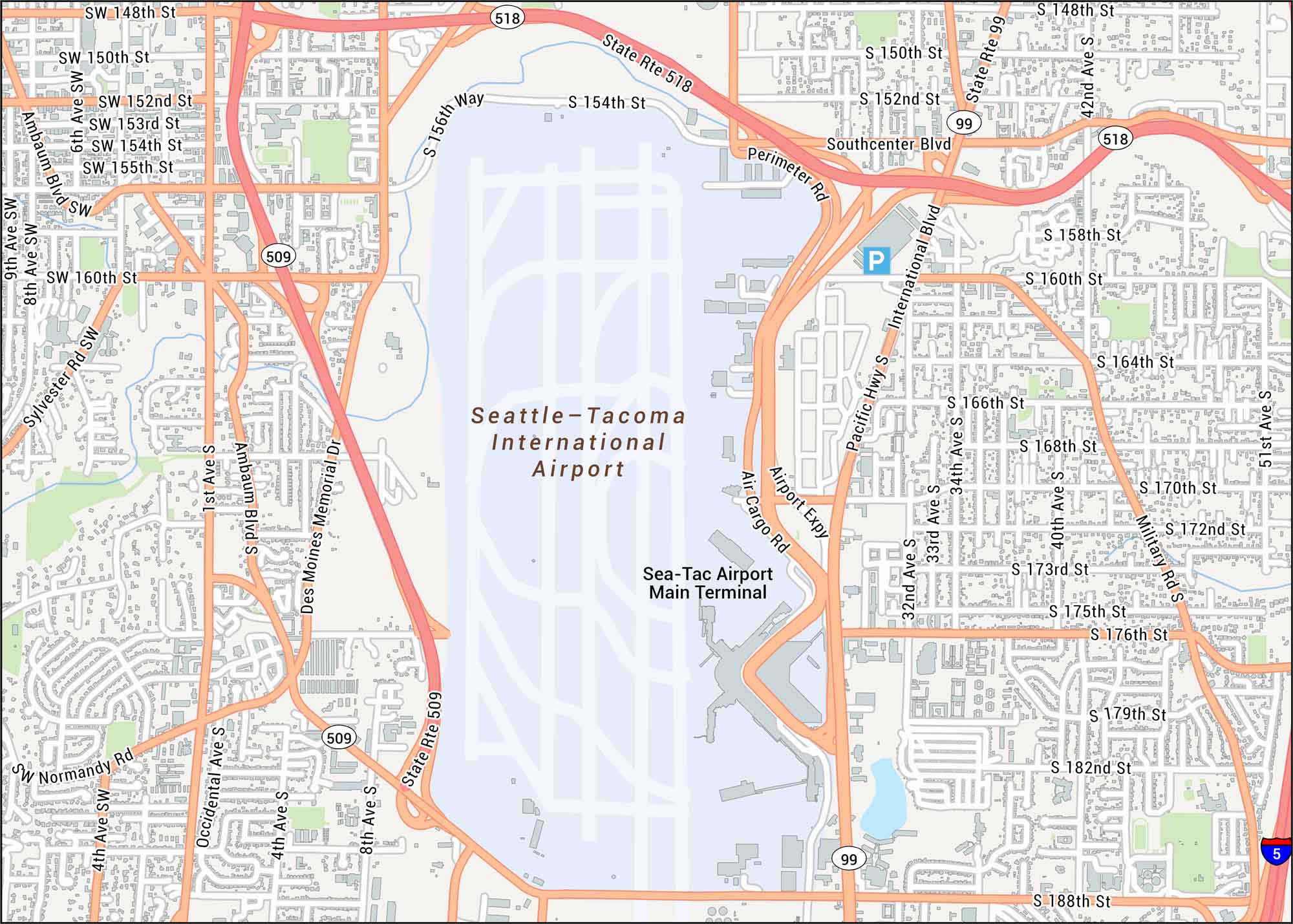
SeaTac sits halfway between Seattle and Tacoma in Washington’s busy Puget Sound corridor. Our Seattle-Tacoma International Airport map shows the main terminal, Highway 518 and I-5.

Map Information

  • SeaTac International Airport, Washington
  • Map of SeaTac International Airport
  • Free for personal and commercial purpose. Attribution is required. How to attribute?

On the Map

Interstates/Highways: I-5, State Rte 518, State Rte 509, State Rte 99, Pacific Hwy S Major Roads: International Blvd, Airport Expy, Southcenter Blvd, Des Moines Memorial Dr, Ambaum Blvd, Military Rd, Perimeter Rd, Air Cargo Rd, 188th St, 176th St, 160th St, 154th St, 148th St, 156th Way, 8th Ave, 1st Ave Airports: Seattle-Tacoma International Airport

References

Leave a Reply

Your email address will not be published. Required fields are marked *