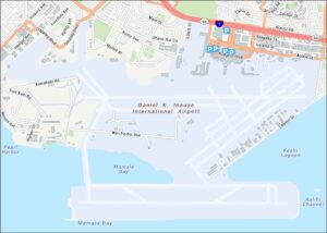
Pearl Harbor Map
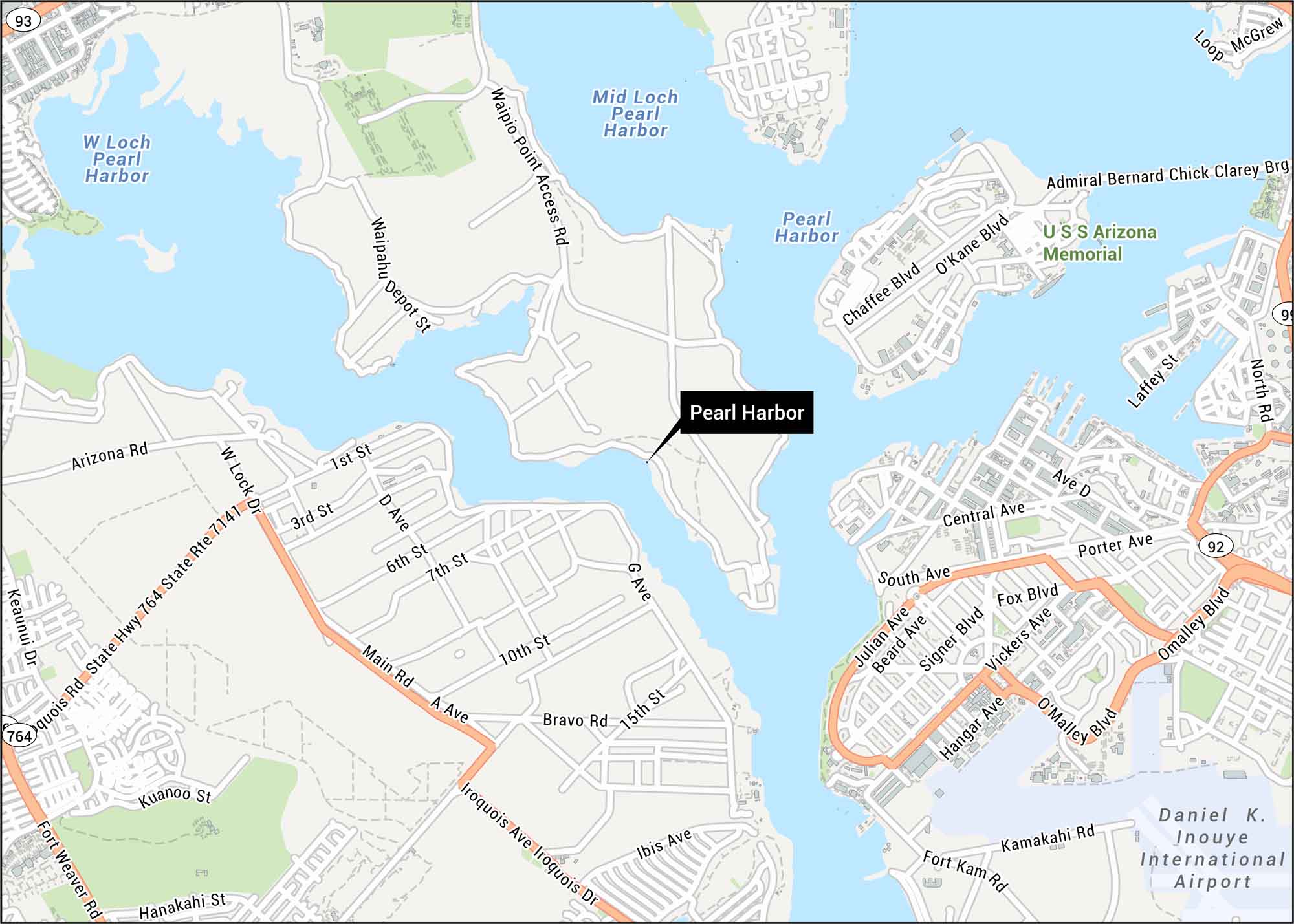
Here’s our map of Pearl Harbor showing harbor basins and surrounding roads. We’ve mapped the key routes that run along the shoreline and naval areas. This historic site lies on Oahu’s southern coast.
Map Information
On the Map
Interstates/Highways: State Hwy 92, State Hwy 99, State Hwy 764, State Rte 7141
Major Roads: Omalley Blvd, Fort Weaver Rd, Iroquois Ave, Waipahu Depot St, Waipio Point Access Rd, Main Rd, Arizona Rd, Chaffee Blvd, O’Kane Blvd, Laffey St, North Rd, Central Ave, Porter Ave, South Ave, Fox Blvd, Signer Blvd, Vickers Ave, Hangar Ave, Kamakahi Rd, Fort Kam Rd
Rivers/Lakes: Pearl Harbor, Mid Loch, W Loch
Other Landmarks: USS Arizona Memorial, Daniel K. Inouye International Airport
Tourist Maps in Hawaii
Discover all the prime locations with our tourist maps.