New Orleans Airport Map
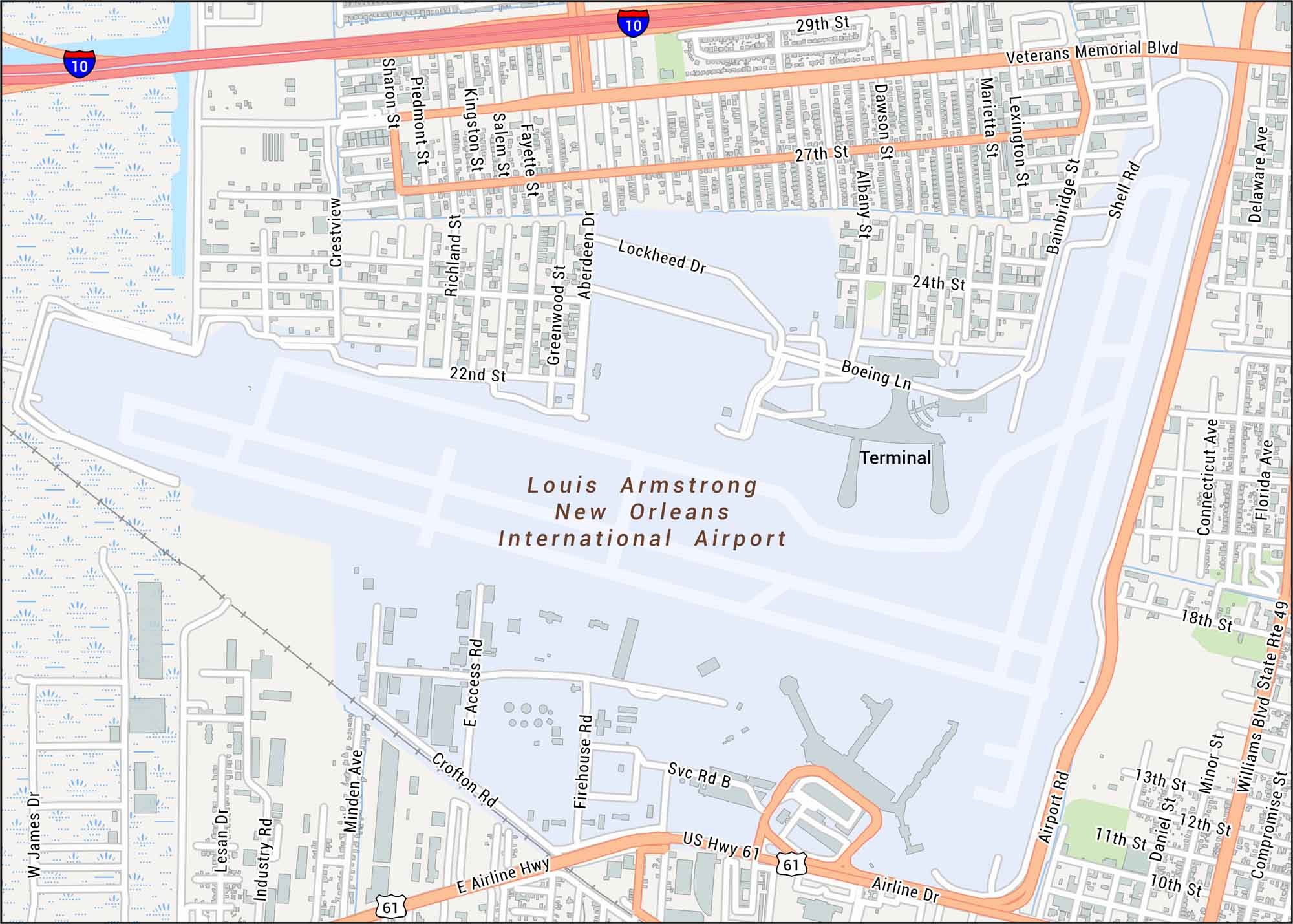
Here’s our map of New Orleans Airport with terminals and main highways. This airport sits west of the city along the edge of the Mississippi River delta.
Map Information
On the Map
Interstates/Highways: I-10, US Hwy 61 Major Roads: Airline Dr, Veterans Memorial Blvd, Williams Blvd State Rte 49, Airport Rd, E Airline Hwy, Shell Rd, Lockheed Dr, Boeing Ln, Crofton Rd, Industry Rd, Minden Ave, Sharon St, Piedmont St, Kingston St, Salem St, Fayette St, Richland St, Greenwood St, Aberdeen Dr, Bainbridge St Other Landmarks: Louis Armstrong New Orleans International Airport, TerminalTourist Maps in Louisiana
Discover all the prime locations with our tourist maps.