Mount Rushmore Map
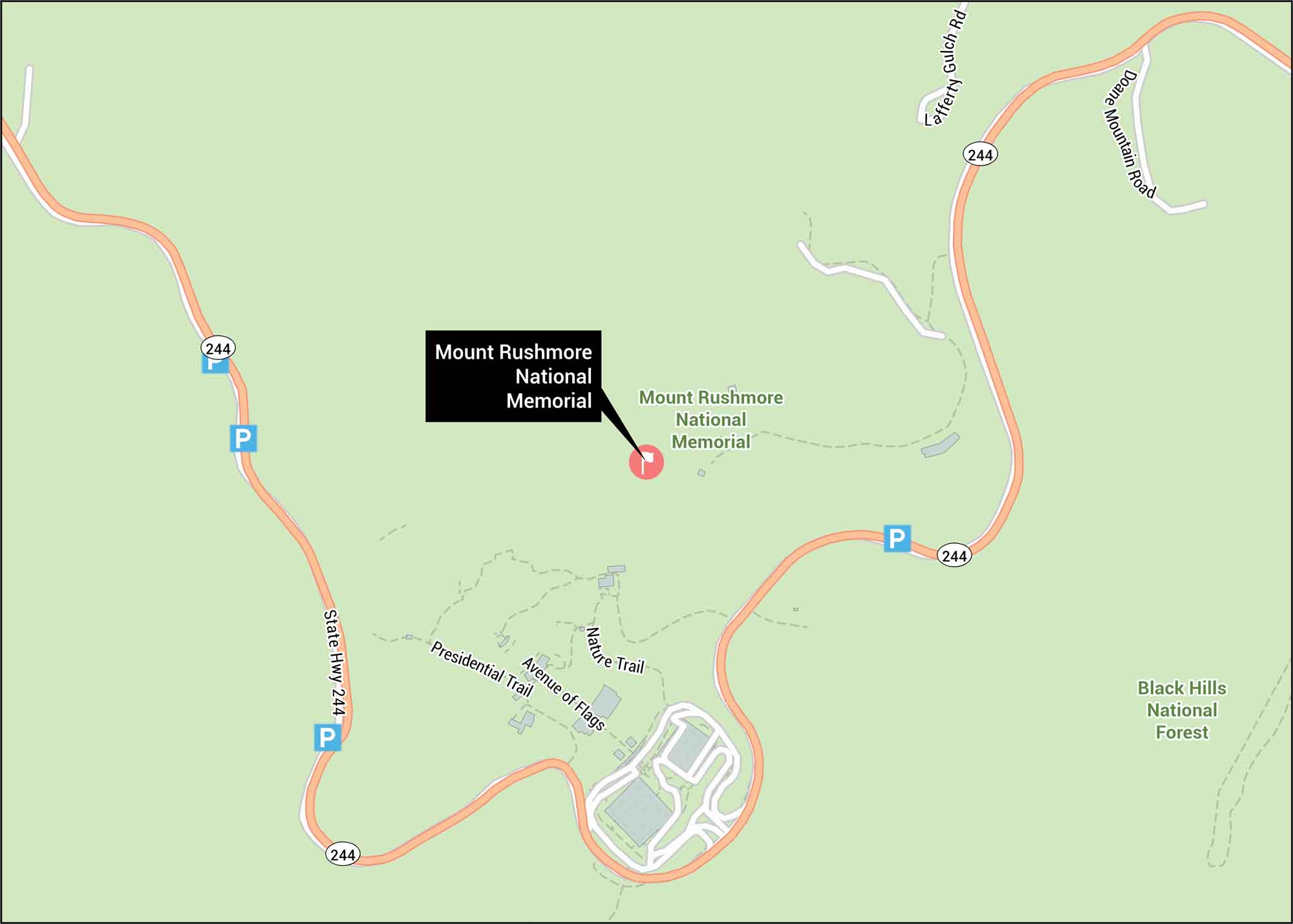
Mount Rushmore is shown with the park roads, parking areas, and surrounding Black Hills terrain. Our map covers State Highway 244 and its twists through the forest. The monument sits in western South Dakota, surrounded by rugged granite peaks.
Map Information
On the Map
Highways: State Hwy 244 Major Roads: Doane Mountain Rd, Lafferty Gulch Rd Parks/Forests: Black Hills National Forest Other Landmarks: Avenue of Flags, Presidential Trail, Nature TrailTourist Maps in South Dakota
Discover all the prime locations with our tourist maps.
No posts